White Mountain National Forest things to do, attractions, restaurants, events info and trip planning
Basic Info
White Mountain National Forest
71 White Mountain Dr, Campton, NH 03223
4.9(2.9K)
Closed

tickets
Save
spot
spot
Ratings & Description
Info
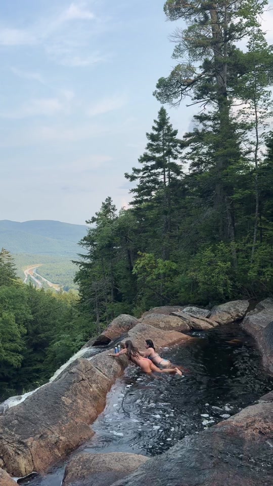
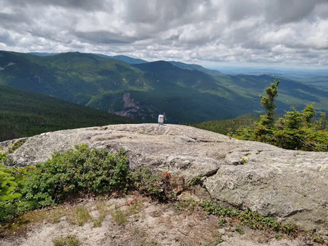
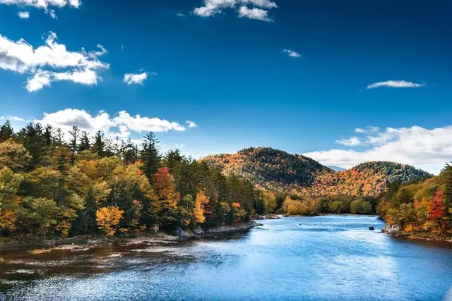
Outdoor
Adventure
Scenic
Family friendly
Pet friendly
Off the beaten path
attractions: , restaurants: , local businesses: White Mountain National Forest
Phone
(603) 536-6100
Website
fs.usda.gov
Open hoursSee all hours
SatClosed
Plan your stay

Pet-friendly Hotels in New England
Find a cozy hotel nearby and make it a full experience.

Affordable Hotels in New England
Find a cozy hotel nearby and make it a full experience.

The Coolest Hotels You Haven't Heard Of (Yet)
Find a cozy hotel nearby and make it a full experience.

Trending Stays Worth the Hype in New England
Find a cozy hotel nearby and make it a full experience.
Reviews
Live events

Family Fun Night
Sat, Feb 21 • 4:00 PM
Cannon Mountain Ski Area, Franconia, New Hampshire, United States
View details

Nerd Out Nights! Board Games, TTRPGs, Magic and More!
Mon, Feb 23 • 5:30 PM
2085 Main Street Bethlehem, NH 03574
View details

Aurora Nights, a PAINT & SIP EVENT with Lisa, Waterville Valley NH
Thu, Feb 26 • 6:00 PM
29 Village Road #level 1 Waterville Valley, NH 03215
View details
Nearby local services of White Mountain National Forest
White Mountain National Forest
White Mountain National Forest
4.9
(3.6K)
Click for details