Devisadero Loop Trail 108 Trailhead things to do, attractions, restaurants, events info and trip planning
Basic Info
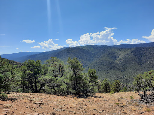
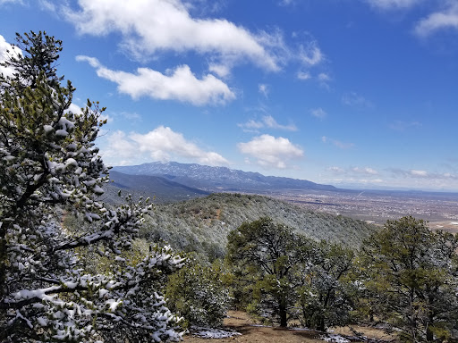
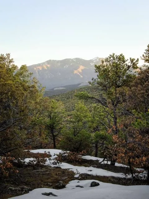
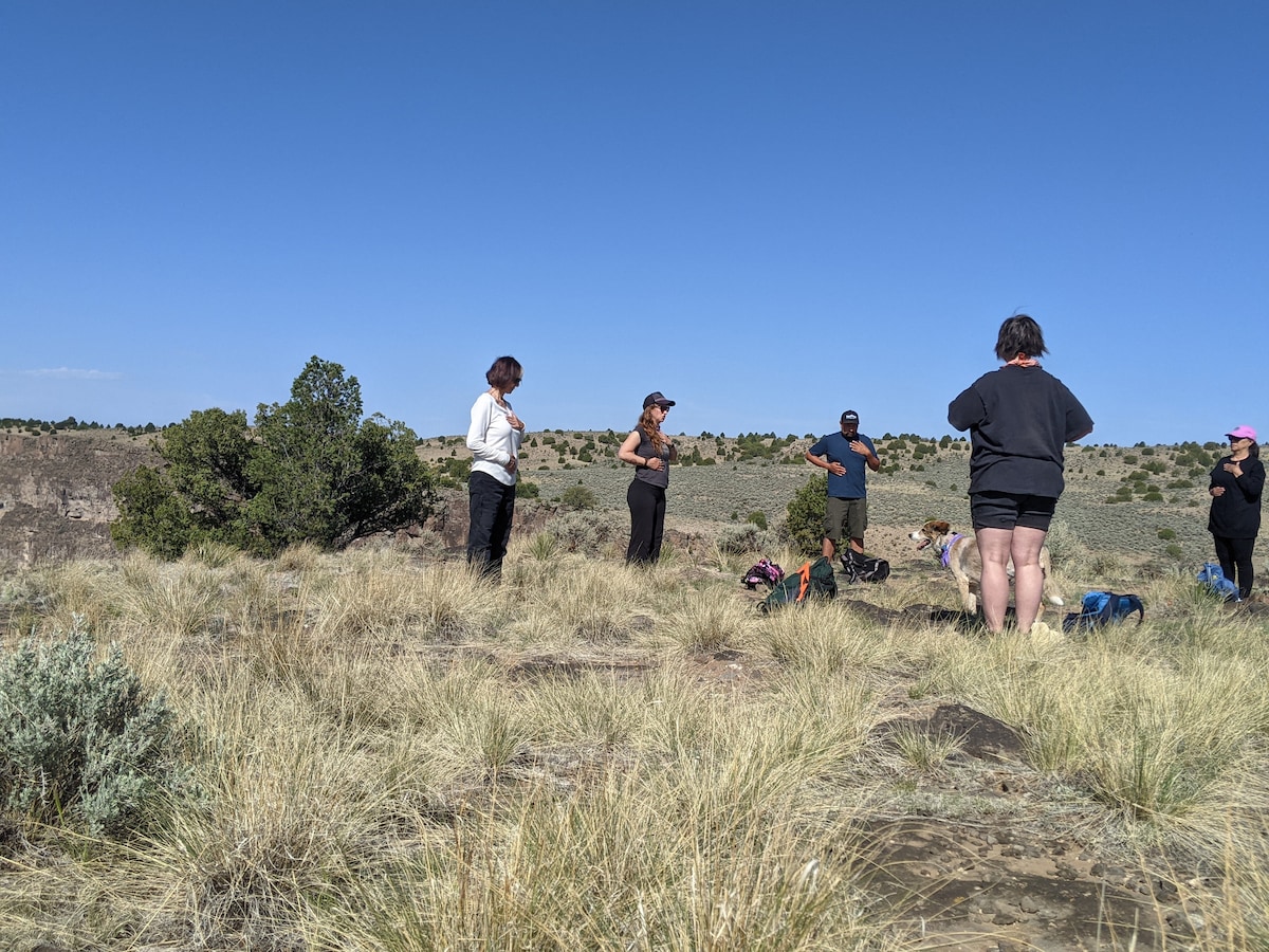
Devisadero Loop Trail 108 Trailhead
Carson National Forest, Taos, NM 87571
4.7(109)
Open until 12:00 AM
Save
spot
spot
Ratings & Description
Info
Outdoor
Adventure
Scenic
Pet friendly
Off the beaten path
attractions: , restaurants:
Website
fs.usda.gov
Open hoursSee all hours
SunOpen 24 hoursOpen
Plan your stay

Pet-friendly Hotels in New Mexico
Find a cozy hotel nearby and make it a full experience.

Affordable Hotels in New Mexico
Find a cozy hotel nearby and make it a full experience.

The Coolest Hotels You Haven't Heard Of (Yet)
Find a cozy hotel nearby and make it a full experience.

Trending Stays Worth the Hype in New Mexico
Find a cozy hotel nearby and make it a full experience.
Reviews
Things to do nearby
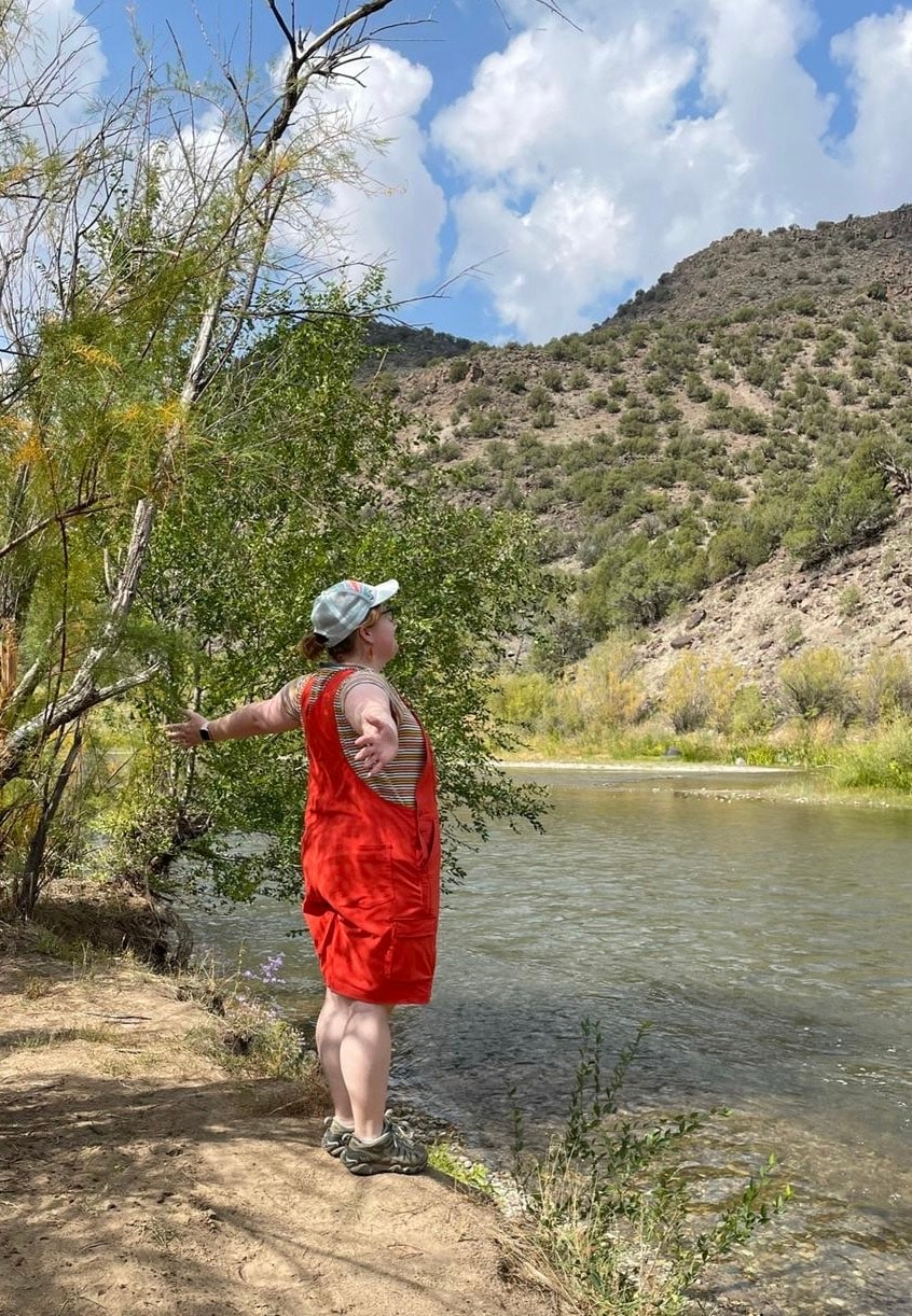
Travel along the Rio Grande
Sun, Jan 11 • 11:00 AM
Peñasco, New Mexico, 87553
View details
Forest bathing with a local guide
Mon, Jan 12 • 1:00 PM
Taos, New Mexico, 87571
View details

David & Jeanie
Sun, Jan 11 • 6:00 PM
1508 Paseo del Pueblo Sur, Taos, NM, United States, New Mexico 87571
View details