Petroglyph National Monument things to do, attractions, restaurants, events info and trip planning
Basic Info
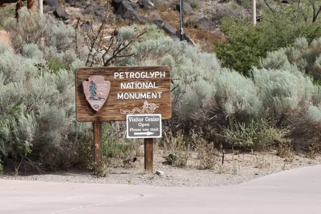
Petroglyph National Monument
Western Trail NW, Albuquerque, NM 87120
4.6(550)
Closed
Save
spot
spot
Ratings & Description
Info
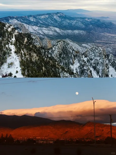
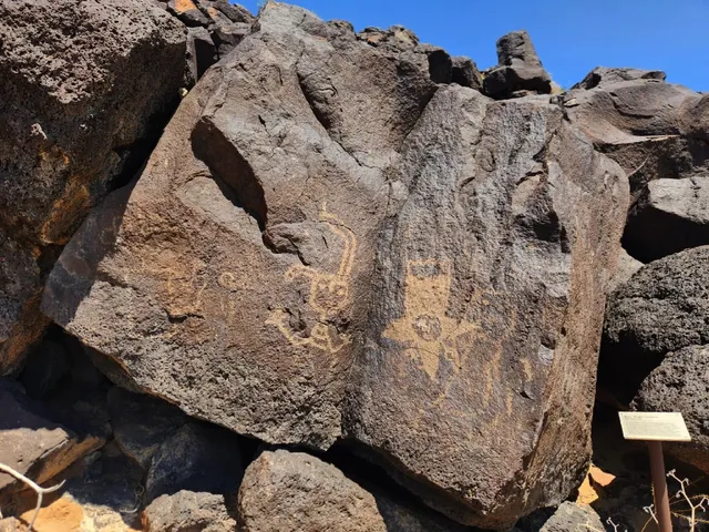
Petroglyph National Monument stretches 17 miles along Albuquerque, New Mexico's West Mesa, a volcanic basalt escarpment that dominates the city's western horizon. Authorized June 27, 1990, the 7,236 acre monument is cooperatively managed by the National Park Service and the City of Albuquerque.
Cultural
Outdoor
Accessibility
attractions: , restaurants: , local businesses:
Phone
(505) 899-0205
Website
nps.gov
Open hoursSee all hours
FriClosed
Plan your stay

Pet-friendly Hotels in Four Corners States
Find a cozy hotel nearby and make it a full experience.

Affordable Hotels in Four Corners States
Find a cozy hotel nearby and make it a full experience.

The Coolest Hotels You Haven't Heard Of (Yet)
Find a cozy hotel nearby and make it a full experience.

Trending Stays Worth the Hype in Four Corners States
Find a cozy hotel nearby and make it a full experience.
Reviews
Live events

Brain Gang Trivia
Sun, Feb 22 • 4:00 PM
7805 Enchanted Hills Boulevard Northeast Rio Rancho, NM 87144
View details

Albuquerque Murder Mystery: Solve the case!
Sat, Jan 31 • 11:00 PM
1918 Mountain Rd NW, Albuquerque, NM 87104, USA, 87104
View details

Ghosts of Albuquerque: Explore the Haunted Past!
Sat, Jan 31 • 11:00 PM
116 N Plaza St NW, Albuquerque, 87104
View details