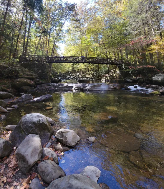
Our hike this week, ṭook us to a remote section of the GSMNP, Big Creek Campground. We came here to hike up a trail, that comes up in our conversations with other hikers probably more than any other trail, Baxter Creek Trail. When you add in Swallow Fork Trail, and Big Creek Trail, you get a loop of a little over 17 miles, including the .2 mile spur over to Low Gap. From the parking lot, you can see a metal bridge which signifies the beginning of the 6 mile hike up to the fire tower. The elevation gain over this section is 4200' with very few switch backs or round abouts. It's mostly up. ↗️. As you work your way up, the trail becomes narrow, rocky, with lots of roots. You will be coming up on the back side of the fire tower. The reward for reaching the top of the trail? If you are doing a loop like we were, the remaining 10+ miles is all downhill 👍. There was a crew working on installing new communication antennas 📡on the tower for the Rangers.
Passing the Fire Tower and coming down Mt Sterling Ridge, you come to the intersection of three trails: Pretty Hollow is on your left and Swallow Fork is on your right. Pretty Hollow Trail and the continuation of Mt Sterling Trail were both overgrown at the intersection.
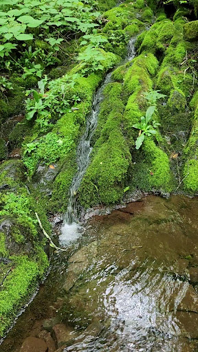
Swallow Fork Trail is 4 miles long and intersects with Big Creek. Most elevation decline happens in the first couple miles. The trail is narrow with rocks and roots across the trail.
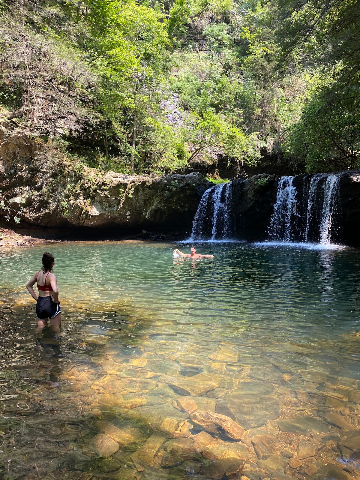
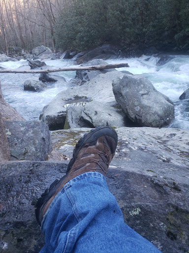
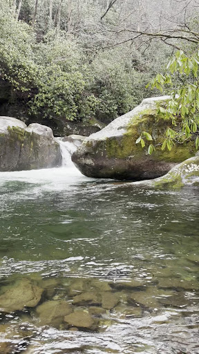
Once you turn right after intersecting Big Creek Trail you have about 1000' elevation decline over the 5.1 mile section, in other words, basically flat. Big Creek is a very pretty Creek with several stretches of churning white water and several nice spots to sun on a rock or get into the creek. The trail does not come out in the parking lot, but about a 100 yards before the parking lot.
If you decide to hike the loop starting with Big Creek, your elevation gain is going to happen during the last 2 miles on Swallow Firk Trail and the 1.4 mile stretch up Mt Sterling Ridge as you head toward the fire tower.
Going up Baxter Creek was a Tail Kicker no doubt and certainly earns its place among the 5 or 6 trails in GSMNP that have you grabbing your shorts, looking up, and wandering, " how much further?🥵. Until next time, Safe Hiking...
Read more