Forks Area Trail System (FATS) things to do, attractions, restaurants, events info and trip planning
Basic Info
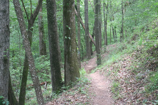
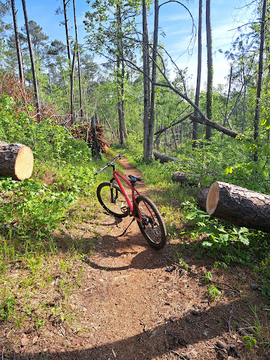
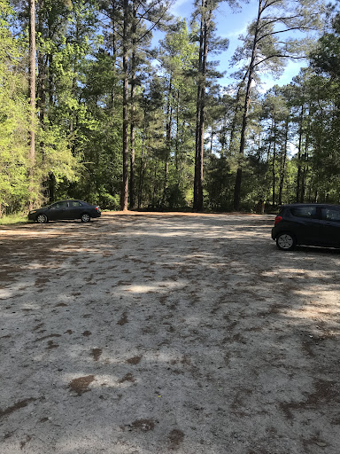
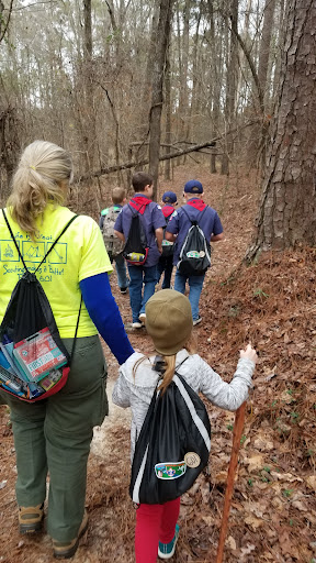
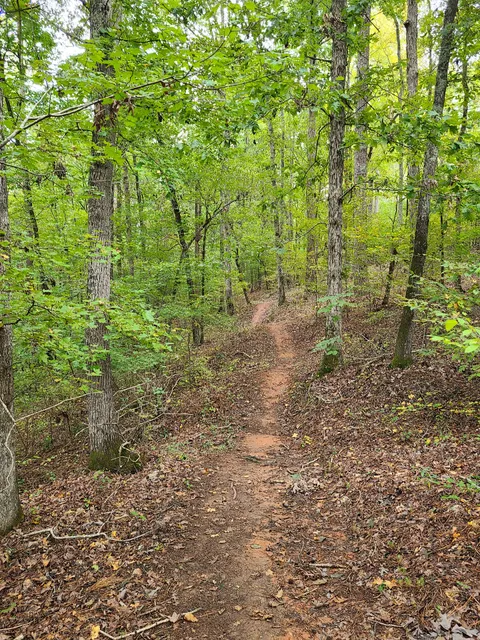
Forks Area Trail System (FATS)
Woodlawn Rd, 33.608398 82.079700, Clarks Hill, SC 29821
4.8(214)
Closed
Save
spot
spot
Ratings & Description
Info
attractions: , restaurants: , local businesses:
Phone
(803) 561-4025
Website
fs.usda.gov
Open hoursSee all hours
Sun8 AM - 6:30 PMClosed
Plan your stay

Pet-friendly Hotels in North Augusta
Find a cozy hotel nearby and make it a full experience.

Affordable Hotels in North Augusta
Find a cozy hotel nearby and make it a full experience.

The Coolest Hotels You Haven't Heard Of (Yet)
Find a cozy hotel nearby and make it a full experience.

Trending Stays Worth the Hype in North Augusta
Find a cozy hotel nearby and make it a full experience.
Reviews
Live events

Dollar & A Dream II
Sat, Jan 24 • 1:00 PM
816 Broad St Augusta, GA 30901 United States, Augusta, GA 30901
View details

Candlelight: Tribute to Fleetwood Mac
Wed, Jan 21 • 6:30 PM
1301 Greene Street, Augusta, 30901
View details

Augusta Murder Mystery 2: Crime on Date Night!
Thu, Jan 1 • 12:00 AM
712 Telfair St, Augusta, 30901
View details