Dittmer-Watts Nature Trail Park things to do, attractions, restaurants, events info and trip planning
Basic Info
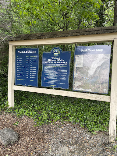
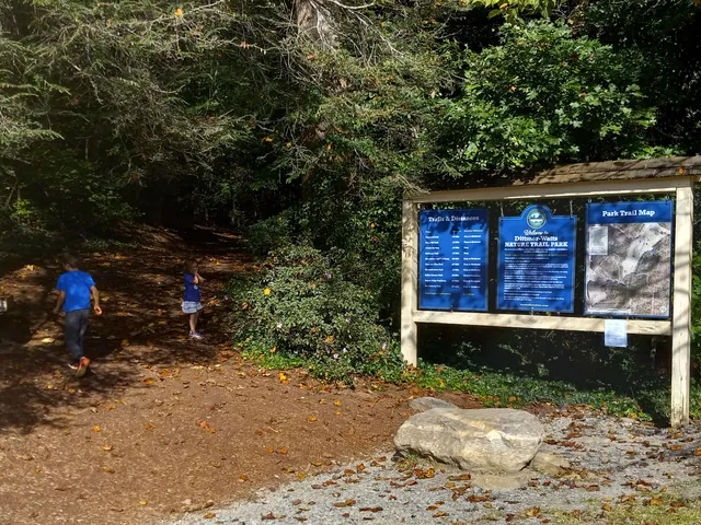
Dittmer-Watts Nature Trail Park
271 NC-9, Lake Lure, NC 28746
4.4(106)
Closed
Save
spot
spot
Ratings & Description
Info
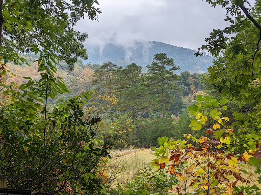
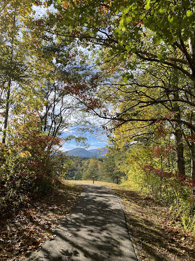
Outdoor
Adventure
Scenic
Family friendly
Pet friendly
attractions: , restaurants: Lake House Restaurant Bar & Grill, local businesses:
Phone
(828) 625-9983
Open hoursSee all hours
Sun8 AM - 5 PMClosed
Plan your stay

Pet-friendly Hotels in North Carolina
Find a cozy hotel nearby and make it a full experience.

Affordable Hotels in North Carolina
Find a cozy hotel nearby and make it a full experience.

The Coolest Hotels You Haven't Heard Of (Yet)
Find a cozy hotel nearby and make it a full experience.

Trending Stays Worth the Hype in North Carolina
Find a cozy hotel nearby and make it a full experience.
Reviews
Live events
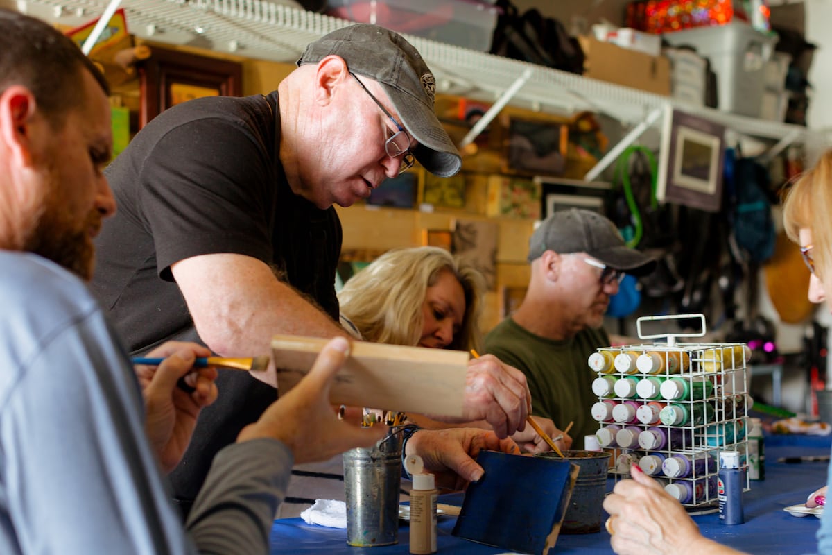
Craft lightning art with a local wood artist
Sun, Jan 25 • 1:00 PM
Hendersonville, North Carolina, 28739
View details
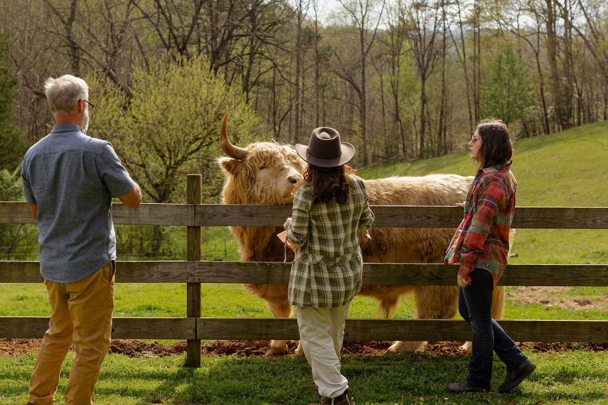
Hike & Highland Cow
Sat, Jan 31 • 10:00 AM
Rutherfordton, North Carolina, 28139
View details
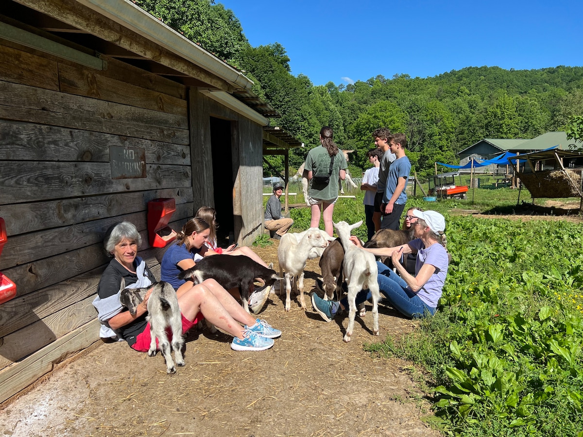
Explore a goat farm and taste a variety of cheese
Fri, Jan 30 • 2:00 PM
Black Mountain, North Carolina, 28711
View details
Nearby restaurants of Dittmer-Watts Nature Trail Park
Lake House Restaurant Bar & Grill
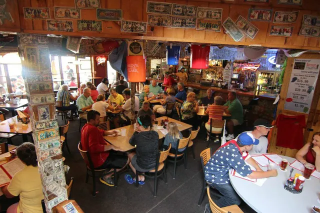
Lake House Restaurant Bar & Grill
4.2
(1.4K)
$
Closed
Click for details