Richland Balsam Trail things to do, attractions, restaurants, events info and trip planning

Basic Info
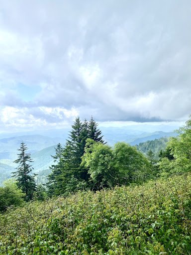
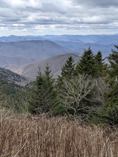
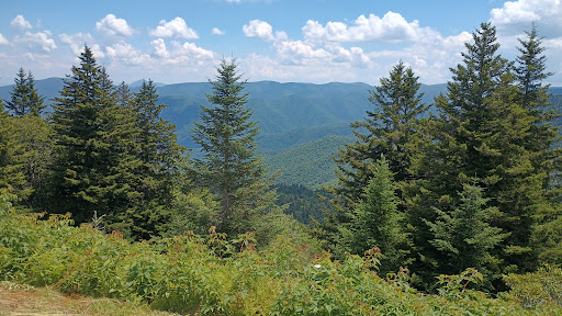
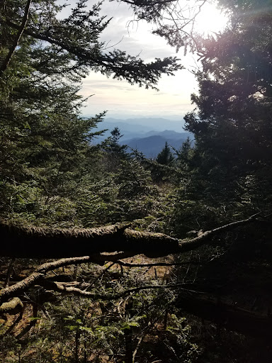
Richland Balsam Trail
Blue Ridge Pkwy, Waynesville, NC 28786, United States
4.9(49)
Open 24 hours
Save
spot
spot
Ratings & Description
Info
Outdoor
Adventure
Scenic
Family friendly
Pet friendly
attractions: Cowee Mountain Overlook, restaurants: , local businesses: Richland Balsam, Richland Balsam
Phone
+1 828-348-3400
Website
nps.gov
Plan your stay

Pet-friendly Hotels in North Carolina
Find a cozy hotel nearby and make it a full experience.

Affordable Hotels in North Carolina
Find a cozy hotel nearby and make it a full experience.

The Coolest Hotels You Haven't Heard Of (Yet)
Find a cozy hotel nearby and make it a full experience.

Trending Stays Worth the Hype in North Carolina
Find a cozy hotel nearby and make it a full experience.
Reviews
Live events

Llama hike through Blue Ridge Mountain Trails
Fri, Feb 20 • 1:30 PM
Lake Toxaway, North Carolina, 28747
View details
Waterfall Hike and Jeep Excursion
Mon, Feb 16 • 8:30 AM
Pisgah Forest, 28768
View details

Salon professionals helping Salon professionals
Mon, Feb 16 • 11:00 AM
70 Main Street, Clyde, NC, United States, North Carolina 28721
View details
Nearby attractions of Richland Balsam Trail
Cowee Mountain Overlook
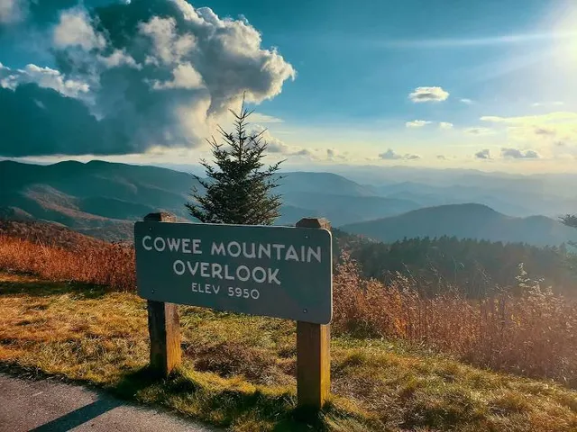
Cowee Mountain Overlook
4.9
(248)
Open until 12:00 AM
Click for details
Nearby local services of Richland Balsam Trail
Richland Balsam
Richland Balsam

Richland Balsam
4.9
(11)
Click for details

Richland Balsam
4.8
(8)
Click for details