Wildcat Rock Trail things to do, attractions, restaurants, events info and trip planning
Basic Info
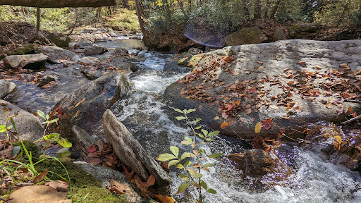
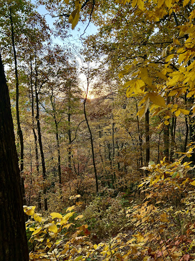
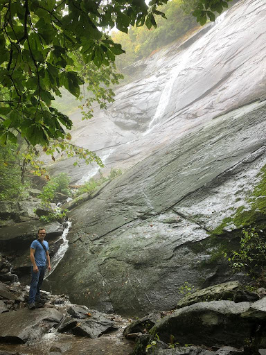
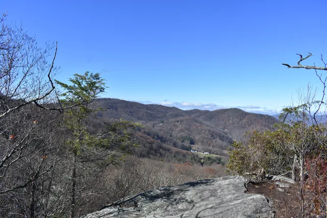
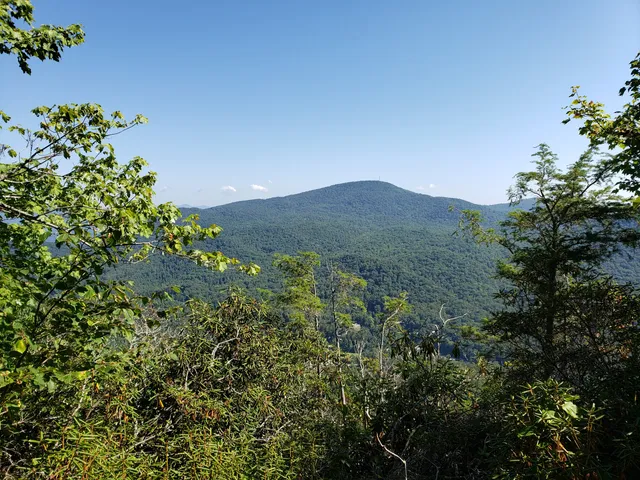
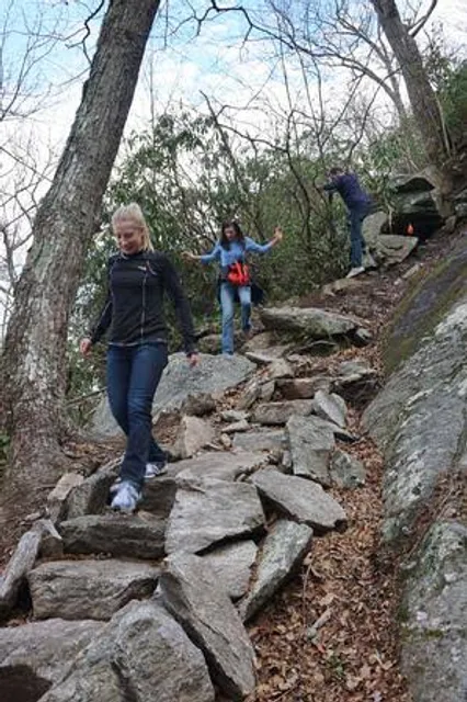
Wildcat Rock Trail
3823 Gerton Hwy, Gerton, NC 28735
4.8(79)
Open 24 hours
Save
spot
spot
Ratings & Description
Info
Outdoor
Adventure
Scenic
Pet friendly
Off the beaten path
attractions: Florence Nature Preserve, Upper Hickory Nut Gorge Trailhead, restaurants: , local businesses:
Phone
(828) 697-5777
Website
conservingcarolina.org
Plan your stay

Pet-friendly Hotels in North Carolina
Find a cozy hotel nearby and make it a full experience.

Affordable Hotels in North Carolina
Find a cozy hotel nearby and make it a full experience.

The Coolest Hotels You Haven't Heard Of (Yet)
Find a cozy hotel nearby and make it a full experience.

Trending Stays Worth the Hype in North Carolina
Find a cozy hotel nearby and make it a full experience.
Reviews
Live events

Whisper Within
Sat, Feb 14 • 3:00 PM
10 East Market Street #Suite D Black Mountain, NC 28711
View details

Valentines Day Singles Mixer
Sat, Feb 14 • 7:00 PM
24 Buxton Avenue Asheville, NC 28801
View details

Beach Chapel and Ivan Theva Show
Wed, Feb 18 • 7:00 PM
120 East State Street Black Mountain, NC 28711
View details
Nearby attractions of Wildcat Rock Trail
Florence Nature Preserve
Upper Hickory Nut Gorge Trailhead
Florence Nature Preserve
4.7
(138)
Open 24 hours
Click for details
Upper Hickory Nut Gorge Trailhead
4.8
(47)
Open 24 hours
Click for details