Trexler Nature Preserve things to do, attractions, restaurants, events info and trip planning
Basic Info
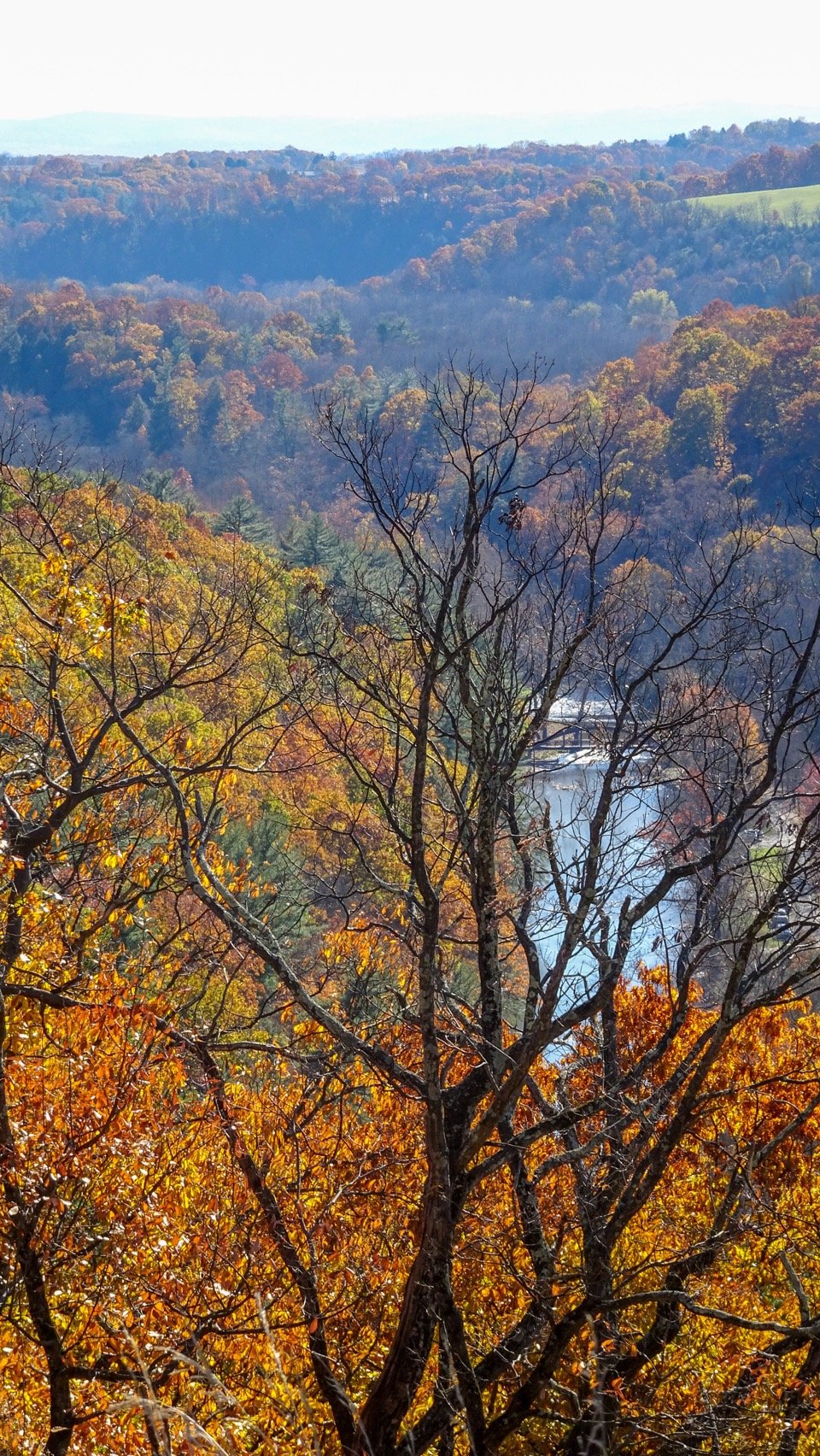
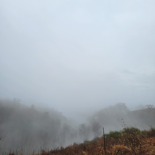
Trexler Nature Preserve
4935 Orchard Rd, Schnecksville, PA 18078
4.7(1.5K)
Open until 8:00 PM
Save
spot
spot
Ratings & Description
Info
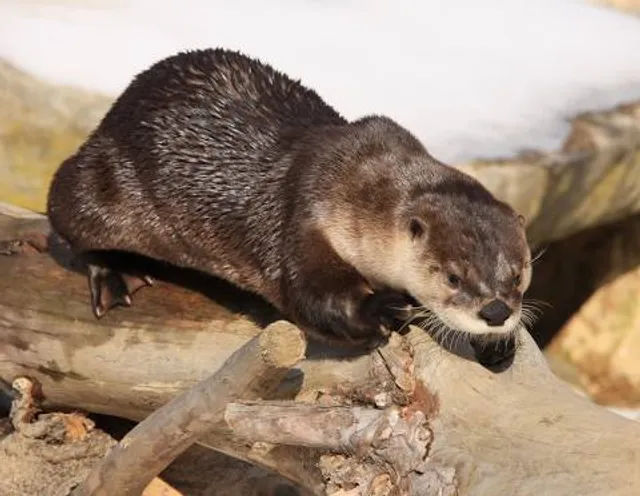
Outdoor
Family friendly
Pet friendly
attractions: Lehigh Valley Zoo, Historic Schlicher's Covered Bridge, LCCC Academic Resource Center, restaurants: , local businesses:
Phone
(610) 871-0281
Website
lehighcounty.org
Open hoursSee all hours
Wed8 AM - 8 PMOpen
Plan your stay

Pet-friendly Hotels in North Whitehall Township
Find a cozy hotel nearby and make it a full experience.

Affordable Hotels in North Whitehall Township
Find a cozy hotel nearby and make it a full experience.

The Coolest Hotels You Haven't Heard Of (Yet)
Find a cozy hotel nearby and make it a full experience.

Trending Stays Worth the Hype in North Whitehall Township
Find a cozy hotel nearby and make it a full experience.
Reviews
Live events

A Community Conversation: The Data Center Debate
Thu, Feb 26 • 6:00 PM
839 Sesame Street Bethlehem, PA 18015
View details

RILYC: Voices in the Casa ft. Mari of Sweet Sensation & Linda Vega
Fri, Feb 27 • 6:00 PM
218 North 2nd Street Allentown, PA 18102
View details

Listen to the Dissonance 2026: songs and conversations about mental health
Fri, Feb 27 • 7:00 PM
56 River Street Bethlehem, PA 18018
View details
Nearby attractions of Trexler Nature Preserve
Lehigh Valley Zoo
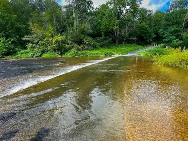
Historic Schlicher's Covered Bridge
LCCC Academic Resource Center
Lehigh Valley Zoo
4.5
(2.2K)
Open until 12:00 AM
Click for details
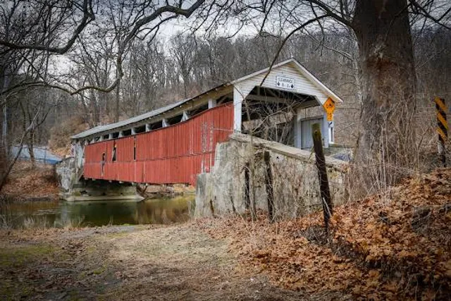
Historic Schlicher's Covered Bridge
4.9
(28)
Open until 12:00 AM
Click for details
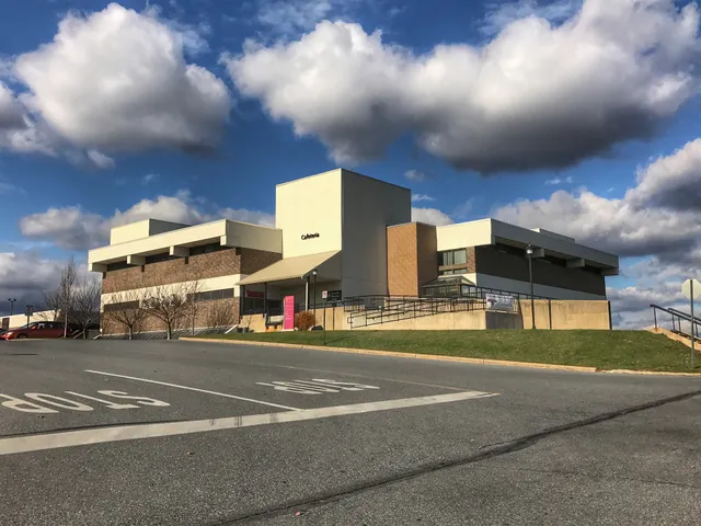
LCCC Academic Resource Center
4.7
(16)
Open 24 hours
Click for details