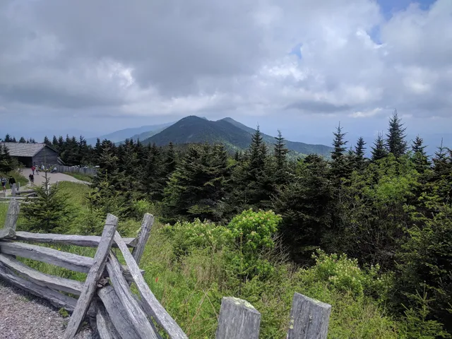
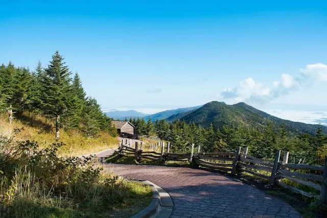
I've been to Mt. Mitchell many times, including when the old tower was there and while they were building the new tower. I went on Labor Day so no one was there, which was neat because the construction area was off limits. I hated that the old tower was taken down, but I must admit that it was getting pretty scary due to its condition. So it's good that it was replaced, and additionally nice that it is wheelchair accessible for people who need that. The hill might be difficult to get a wheelchair up such a slant, but it can be done with assistance.There is also a really nice short trail that loops around below the peak. I highly recommend taking the time to walk it. Give yourself maybe 20 minutes or so. And at the peak area if you leave the elevated walkway and just go straight, you'll find yourself in the woods, a quite enchanting area in itself.
Don't go to Mitchell expecting long views and a perfectly clear sky because often the atmosphere is hazy, but it's still spectacular. It's too bad that the young reviewer, Mandy, couldn't appreciate the 360 degree view which is really not possible just anywhere on the parkway. But that's young'uns for you!
If you have maybe an extra 3 hours, go to the far end of the parking lot and hike over to Mt. Craig. It's past the picnic area. You'll go down hill with a short walk on level ground and then back up again. There are some places where you'll be hiking through and on boulders, but most of the trail is pretty normal. Once you have gone up again and on the slope of Mt. Craig, the views are once again amazing. The cool thing about it is that there won't be any crowds anymore. No annoying motorcycles or radios blaring. And the closer you get to the top, the people seem to be slimmer. Once there you feel like you are still on the highest mountain in eastern North America. Birds will come close to sit on stunted spruce trees or on the rocks. It's just such a different experience than just visiting Mitchell itself.
The museum at Mitchell is also worth visiting. It's free and contains some pretty cool info and displays.
If you are hungry, the restaurant is good. The peach cobbler is the best I've ever had, and I'm a Georgia boy! It's homemade. Before or after eating, go outside and sit in a rocking chair or just walk around the building. It's a very relaxing area.
If you plan to camp there, good luck. No reservations are taken, and there are only about 9 campsites. But if you get one, you're in luck. It's awesome to camp up there!
I'm not sure how late or early you can be at the top, but I'm sure the sunrises and sunsets are gorgeous.
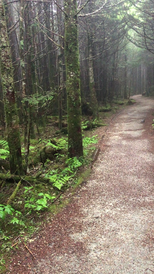
If you want to go on a really awesome and relatively short hike, go up that access highway 128. About a half mile up, maybe more, maybe less, there is a gravel area on the right to park about 3 or 4 cars maximum. On the left side of the road it's difficult to see a trailhead that immediately rises up to the right Take that up the switchbacks and just follow it until you get to the open area with the expansive views to the south,east, and west. Keep hiking until it is clear that you are there. You'll know what I mean when you get there. Once there, if you go further it goes back into deep woods again. You can camp there under a small pine forest where it's clear that others have camped before. But PLEASE be very careful with open flames, which you are probably not supposed to have anyway. This area has rocks jutting out that you can sit on and watch the clouds roll over the ridges from the west. I was up there alone one morning and it was absolutely magical! It was like being at the ocean, an ocean of clouds just below me, with a few little islands sticking up out of the white foam sea. By the way, the trail that leads to this area is just a part of the Mountains to Sea Trail which is marked by a 4" round...
Read more