Castle Rock State Park things to do, attractions, restaurants, events info and trip planning
Basic Info
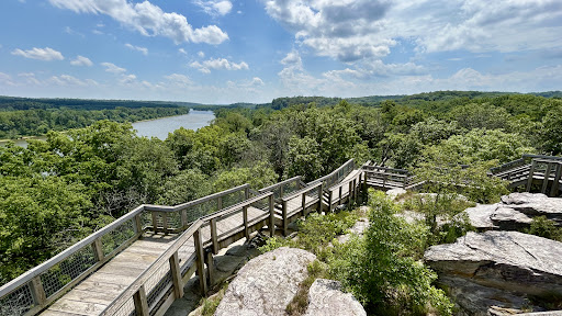
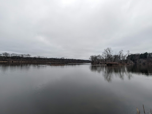
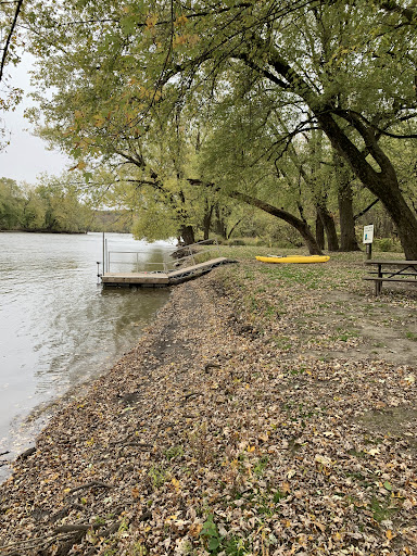
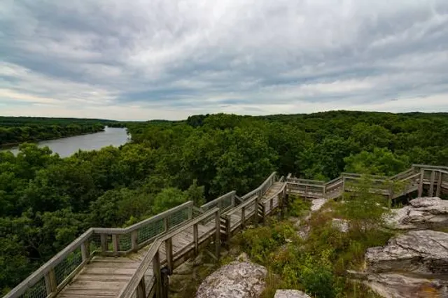
Castle Rock State Park
1365 W Castle Rd, Oregon, IL 61061
4.6(268)
Open 24 hours
Save
spot
spot
Ratings & Description
Info
Castle Rock State Park is a 5,242-acre state park of California, United States, located along the crest of the Santa Cruz Mountains and almost entirely in Santa Cruz County, with parts extending into Santa Clara County and San Mateo County.
Outdoor
Adventure
Scenic
Family friendly
Pet friendly
attractions: , restaurants: , local businesses:
Phone
(815) 732-7329
Website
castlerockstatepark.com
Plan your stay

Pet-friendly Hotels in Oregon - Nashua Township
Find a cozy hotel nearby and make it a full experience.

Affordable Hotels in Oregon - Nashua Township
Find a cozy hotel nearby and make it a full experience.

The Coolest Hotels You Haven't Heard Of (Yet)
Find a cozy hotel nearby and make it a full experience.

Trending Stays Worth the Hype in Oregon - Nashua Township
Find a cozy hotel nearby and make it a full experience.
Reviews
Live events

February Thriller Book Club
Sat, Feb 21 • 1:00 PM
718 10th Ave, Rochelle, IL, United States
View details

Quartermania
Sat, Feb 21 • 5:00 PM
Mills & Petrie Memorial Building -Library and Gymnasium, 704 N 1st St, Ashton, IL 61006-9416, United States
View details

Annual Wine Dinner
Sat, Feb 21 • 6:00 PM
Costa's Pizzeria & Ristorante, 133 E Blackhawk Dr, Byron, IL 61010-8924, United States
View details