Vermilion Cliffs National Monument things to do, attractions, restaurants, events info and trip planning
Basic Info
Vermilion Cliffs National Monument
Marble Canyon, AZ 86036
4.7(628)
Open until 12:00 AM
Save
spot
spot
Ratings & Description
Info
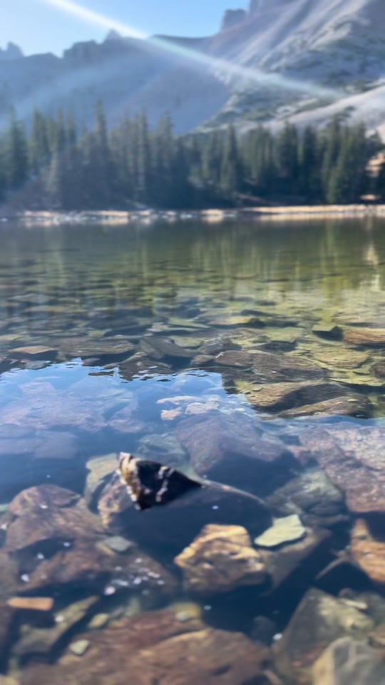
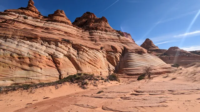
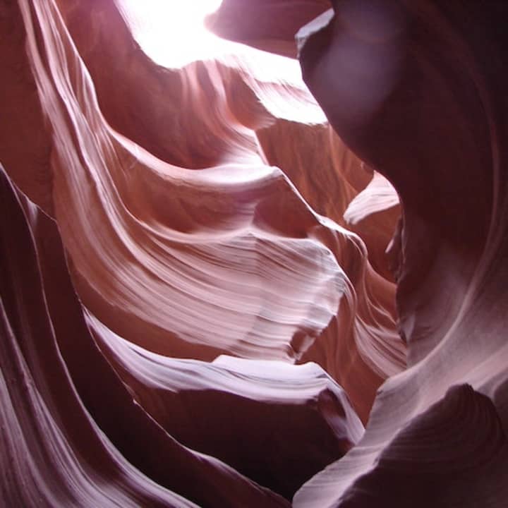
Vermilion Cliffs National Monument is located in northern Coconino County, Arizona, United States, immediately south of the Utah state line. This national monument, 293,689 acres in area, protects the Paria Plateau, Vermilion Cliffs, Coyote Buttes, and Paria Canyon.
Outdoor
Adventure
Scenic
Off the beaten path
attractions: , restaurants: , local businesses:
Phone
(435) 688-3200
Website
blm.gov
Open hoursSee all hours
FriOpen 24 hoursOpen
Plan your stay

Pet-friendly Hotels in Page City Limits
Find a cozy hotel nearby and make it a full experience.

Affordable Hotels in Page City Limits
Find a cozy hotel nearby and make it a full experience.

The Coolest Hotels You Haven't Heard Of (Yet)
Find a cozy hotel nearby and make it a full experience.

Trending Stays Worth the Hype in Page City Limits
Find a cozy hotel nearby and make it a full experience.
Reviews
Live events
Antelope Canyon & Horseshoe Bend: Day Trip from Phoenix / Scottsdale
Sun, Mar 1 • 5:00 AM
1001 Page Parkway, Page, 86040
View details