Los Trancos Open Space Preserve things to do, attractions, restaurants, events info and trip planning
Basic Info
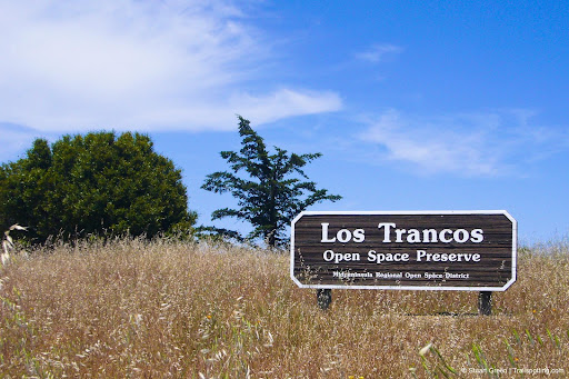
Los Trancos Open Space Preserve
Los Altos, CA 94022
4.6(131)
Closed
Save
spot
spot
Ratings & Description
Info
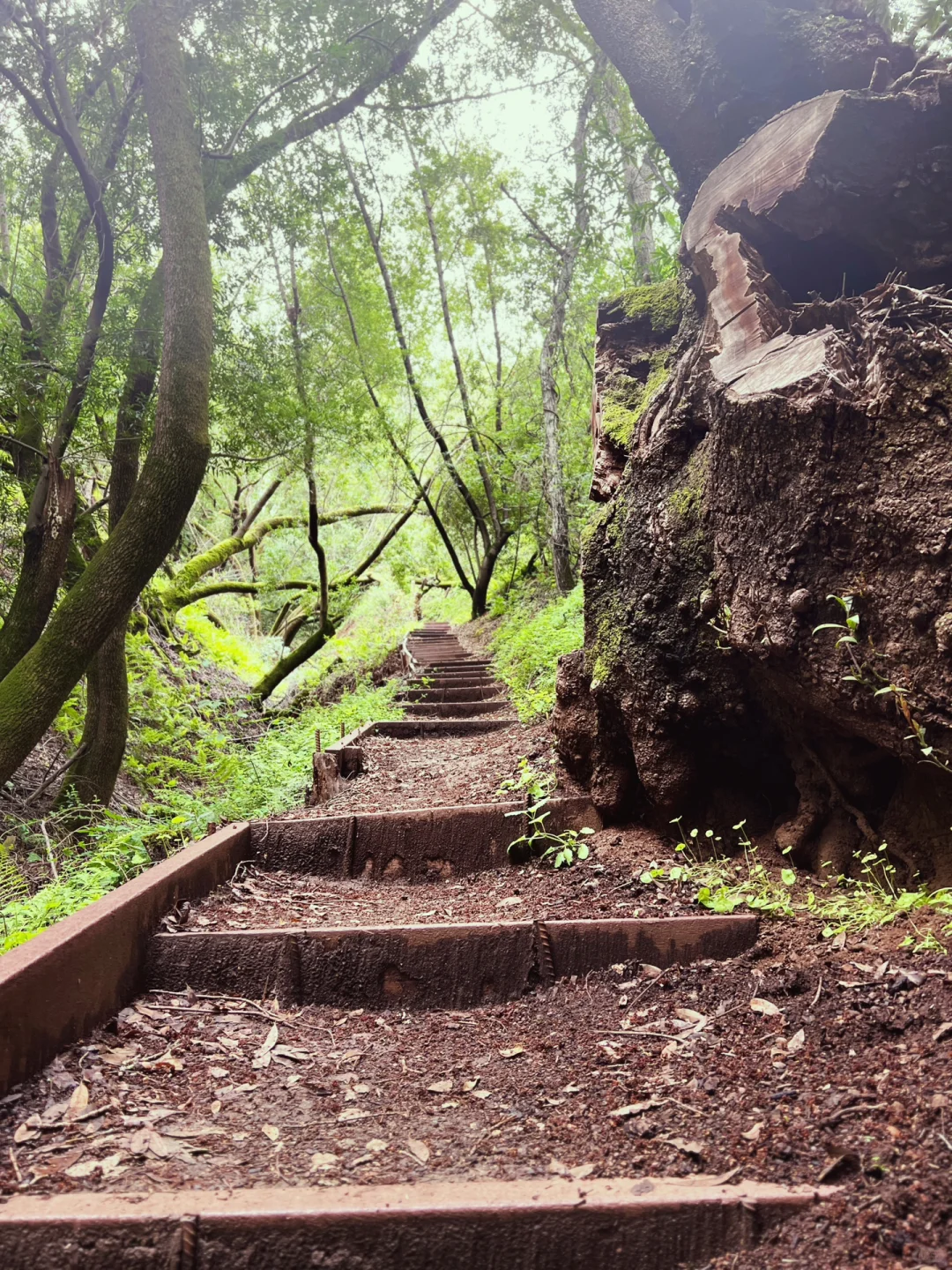
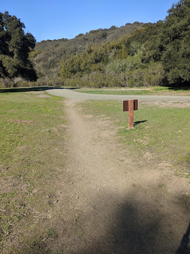
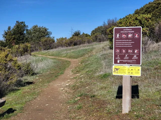
Los Trancos Open Space Preserve is a 274-acre open space preserve, located in San Mateo and Santa Clara Counties, California, near Los Altos Hills, California. The preserve contains about 5 miles of hiking trails, of which 2.1 miles are open to equestrians, and none are open to bicycles.
Outdoor
Adventure
Scenic
Family friendly
Pet friendly
Off the beaten path
attractions: Monte Bello Open Space Preserve, restaurants: , local businesses:
Phone
(650) 691-1200
Website
openspace.org
Open hoursSee all hours
Wed8 AM - 5 PMClosed
Plan your stay

Pet-friendly Hotels in Palo Alto
Find a cozy hotel nearby and make it a full experience.

Affordable Hotels in Palo Alto
Find a cozy hotel nearby and make it a full experience.

The Coolest Hotels You Haven't Heard Of (Yet)
Find a cozy hotel nearby and make it a full experience.

Trending Stays Worth the Hype in Palo Alto
Find a cozy hotel nearby and make it a full experience.
Reviews
Live events

Explore Silicon Valleys landmarks
Sat, Feb 28 • 10:00 AM
Palo Alto, California, 94306
View details

Newborn Care (In-person)
Wed, Feb 25 • 3:30 PM
4100 Bohannon Drive (East entrance facing 101 freeway) Menlo Park, CA 94025
View details

Saratoga Evacuation Seminar
Wed, Feb 25 • 5:00 PM
19655 Allendale Avenue Saratoga, CA 95070
View details
Nearby attractions of Los Trancos Open Space Preserve
Monte Bello Open Space Preserve
Monte Bello Open Space Preserve
4.7
(350)
Open 24 hours
Click for details