Sam Houston National Forest things to do, attractions, restaurants, events info and trip planning
Basic Info
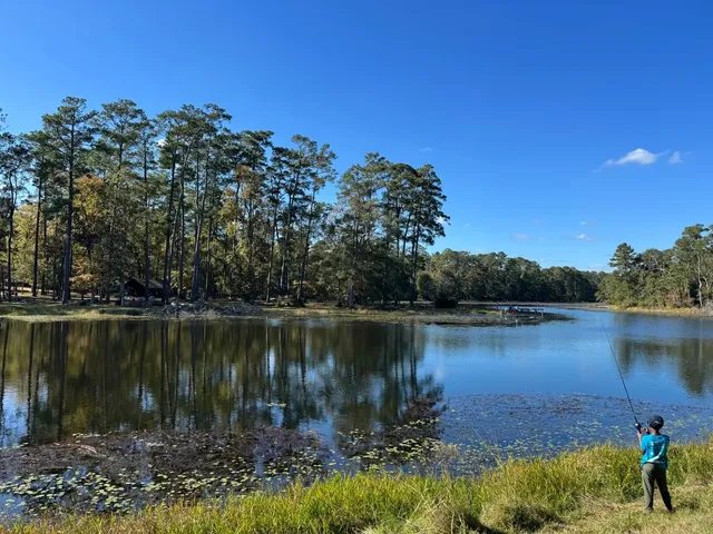
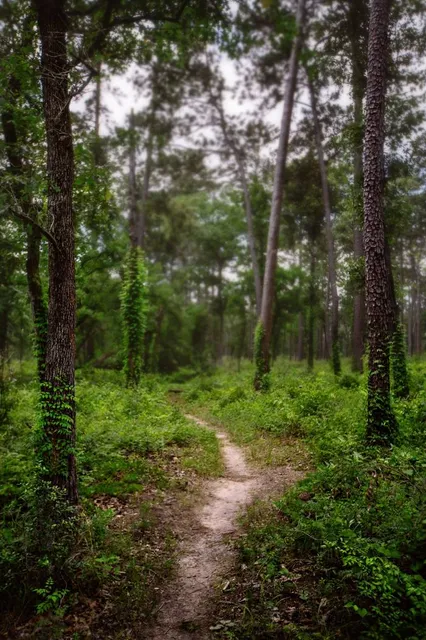
Sam Houston National Forest
394 FM 1375 West, New Waverly, TX 77358
4.6(2.2K)
Open until 4:30 PM

tickets
Save
spot
spot
Ratings & Description
Info
The Sam Houston National Forest, one of four National Forests in Texas, is located 50 miles north of Houston. The forest is administered together with the other three United States National Forests and two National Grasslands located entirely in Texas, from common offices in Lufkin, Texas.
Outdoor
Adventure
Family friendly
Pet friendly
attractions: , restaurants: , local businesses:
Phone
(936) 344-6205
Website
fs.usda.gov
Open hoursSee all hours
Fri8 - 11:30 AM, 12 - 4:30 PMOpen
Plan your stay

Pet-friendly Hotels in Point Blank
Find a cozy hotel nearby and make it a full experience.

Affordable Hotels in Point Blank
Find a cozy hotel nearby and make it a full experience.

The Coolest Hotels You Haven't Heard Of (Yet)
Find a cozy hotel nearby and make it a full experience.

Trending Stays Worth the Hype in Point Blank
Find a cozy hotel nearby and make it a full experience.
Reviews
Live events

Circle of Light: 3 Day Spinal Flow Retreat
Fri, Feb 20 • 9:00 AM
7160 Farm to Market Road 224 Coldspring, TX 77331
View details

Ladies Retreat
Fri, Feb 20 • 3:00 PM
701 North FM 3083 West, Conroe, TX, United States
View details

RESET | RADIANCE WOMENS CONFERENCE
Fri, Feb 20 • 6:00 PM
The Light Community Fellowship (Exit Longstreet Rd then pass Love's towards I-45 S), 13145 Interstate 45 N,Willis, Texas, United States
View details