Potato Chip Rock things to do, attractions, restaurants, events info and trip planning

Basic Info
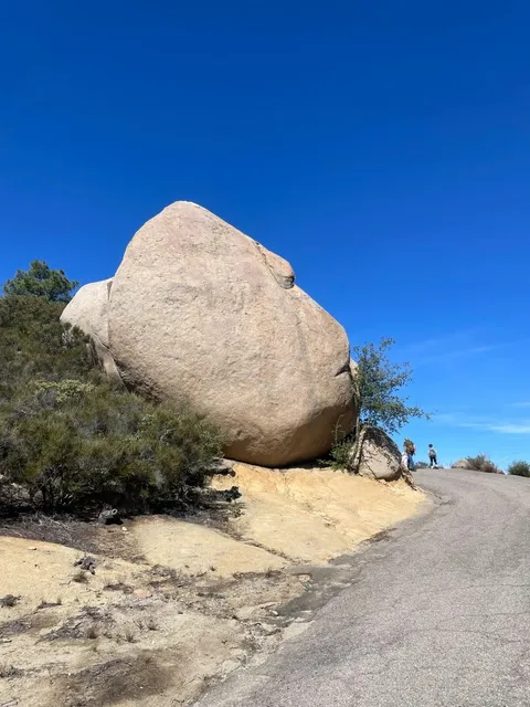
Potato Chip Rock
Ramona, CA 92065
4.7(1.4K)
Open until 5:00 PM
Save
spot
spot
Ratings & Description
Info
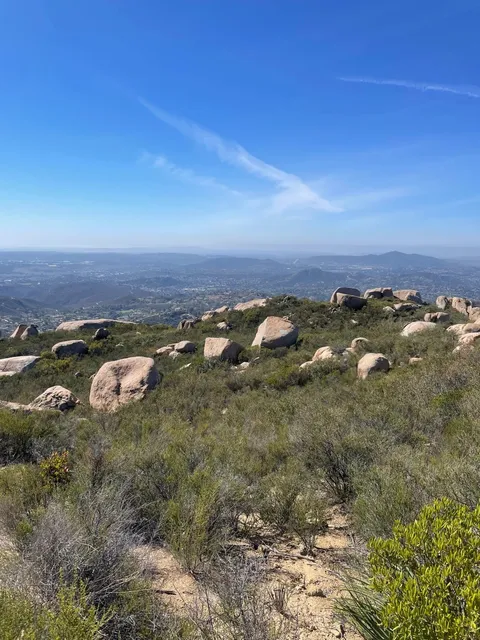
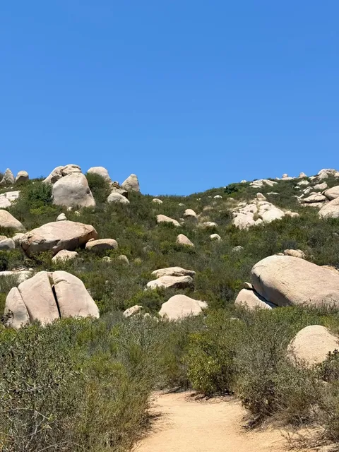
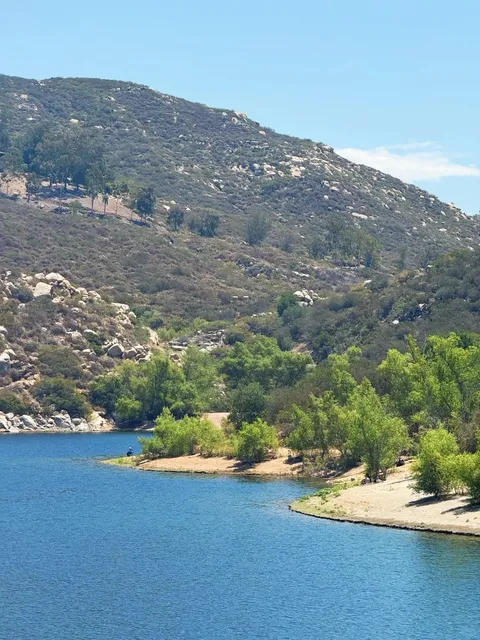
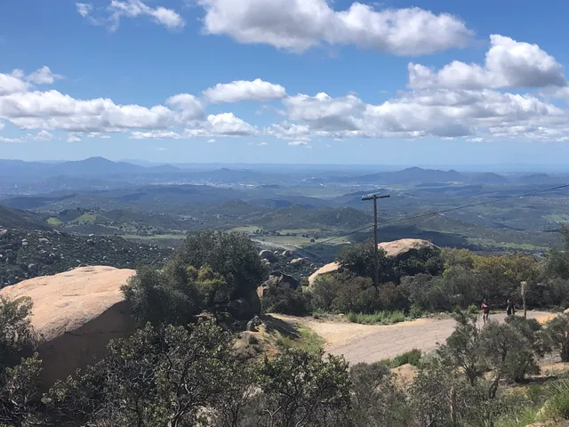
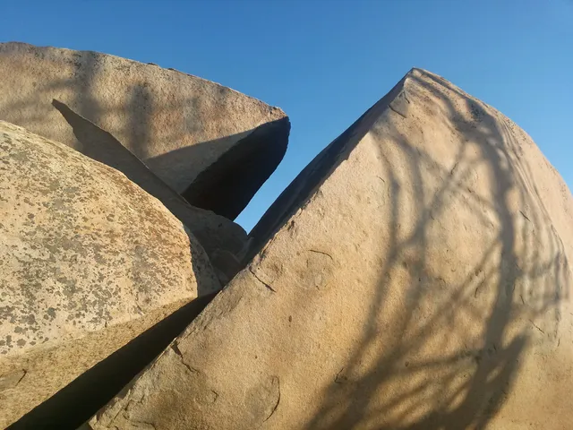
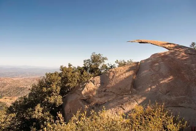
Potato Chip Rock is a natural tourist attraction near San Diego, California. It is located on the Mt. Woodson summit and is famous for resembling a potato chip. It is located in an unincorporated part of San Diego County between Poway and Ramona.
Outdoor
Adventure
Pet friendly
attractions: Mount Woodson, Teepee Rock, restaurants: , local businesses: Mount Woodson
Phone
(858) 668-4772
Website
poway.org
Open hoursSee all hours
Mon6 AM - 5 PMOpen
Plan your stay

Pet-friendly Hotels in Poway
Find a cozy hotel nearby and make it a full experience.

Affordable Hotels in Poway
Find a cozy hotel nearby and make it a full experience.

The Coolest Hotels You Haven't Heard Of (Yet)
Find a cozy hotel nearby and make it a full experience.

Trending Stays Worth the Hype in Poway
Find a cozy hotel nearby and make it a full experience.
Reviews
Live events

The Art of Banksy: Without Limits Exhibition
Mon, Feb 16 • 3:00 PM
2260 Jimmy Durante Blvd, 92014
View details

Soulful Sages: Improv
Tue, Feb 17 • 10:00 AM
1613 Lake Drive Encinitas, CA 92024
View details

SD & Temecula Homeowners: Energy & Storage Dinner at STONE ESCONDIDO
Tue, Feb 17 • 6:00 PM
1999 Citracado Parkway Escondido, CA 92029
View details
Nearby attractions of Potato Chip Rock
Mount Woodson
Teepee Rock
Mount Woodson
4.7
(167)
Open until 12:00 AM
Click for details
Teepee Rock
5.0
(1)
Open until 12:00 AM
Click for details
Nearby local services of Potato Chip Rock
Mount Woodson
Mount Woodson
4.4
(11)
Click for details