Sal's Branch Trailhead things to do, attractions, restaurants, events info and trip planning
Basic Info
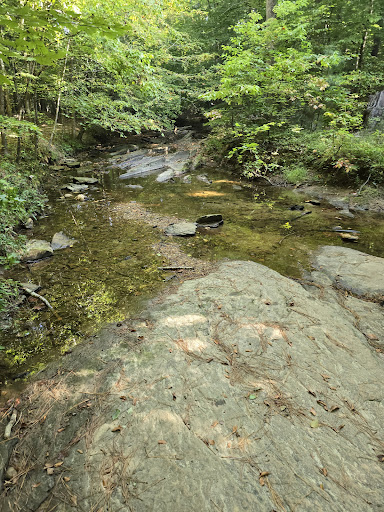
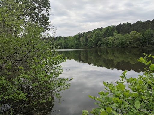
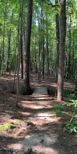
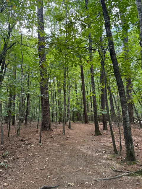
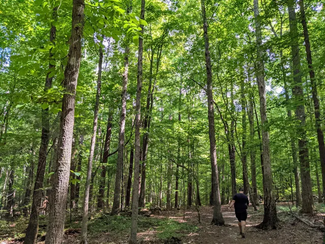
Sal's Branch Trailhead
Unnamed Road, Raleigh, NC 27617
4.8(158)
Closed
Save
spot
spot
Ratings & Description
Info
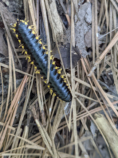
Outdoor
Adventure
Scenic
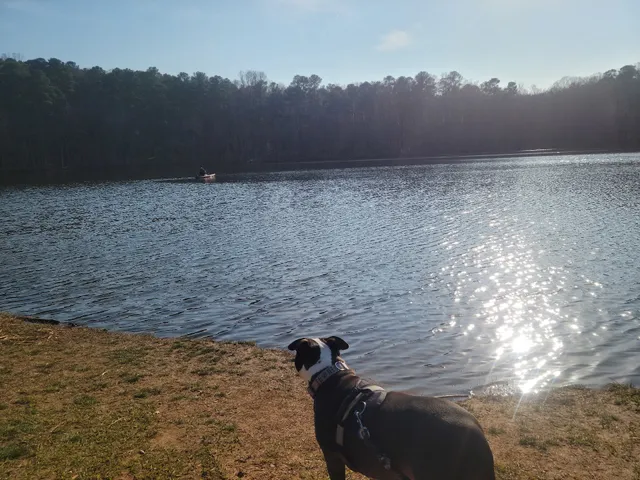
Pet friendly
Family friendly
Off the beaten path
attractions: Umstead State Park Visitor Center, Parking for Potts Branch and Sycamore trails, restaurants: , local businesses: Sal's Branch Trail, Express Locksmith
Phone
(919) 571-4170
Open hoursSee all hours
Fri8 AM - 9 PMClosed
Plan your stay

Pet-friendly Hotels in Raleigh
Find a cozy hotel nearby and make it a full experience.

Affordable Hotels in Raleigh
Find a cozy hotel nearby and make it a full experience.

The Coolest Hotels You Haven't Heard Of (Yet)
Find a cozy hotel nearby and make it a full experience.

Trending Stays Worth the Hype in Raleigh
Find a cozy hotel nearby and make it a full experience.
Reviews
Live events

Make a sterling silver ring
Fri, Mar 6 • 3:00 PM
Raleigh, North Carolina, 27601
View details

March 1- Mahjong & Wine
Sun, Mar 1 • 3:00 PM
153 South White Street Wake Forest, NC 27587
View details

Practice guided meditation with gong sound healing
Sat, Feb 28 • 11:00 AM
Chapel Hill, North Carolina, 27517
View details
Nearby attractions of Sal's Branch Trailhead
Umstead State Park Visitor Center
Parking for Potts Branch and Sycamore trails

Umstead State Park Visitor Center
4.7
(49)
Closed
Click for details
Parking for Potts Branch and Sycamore trails
4.8
(51)
Open 24 hours
Click for details
Nearby local services of Sal's Branch Trailhead
Sal's Branch Trail
Express Locksmith
Sal's Branch Trail
4.7
(134)
Click for details

Express Locksmith
4.9
(21)
Click for details