Otay Mountain Trailhead things to do, attractions, restaurants, events info and trip planning
Basic Info
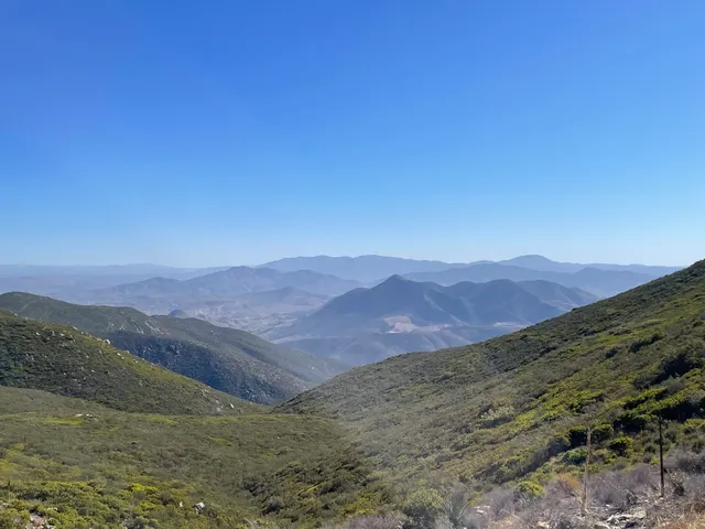
Otay Mountain Trailhead
14615 Otay Lakes Rd, Jamul, CA 91935
4.5(13)
Open 24 hours
Save
spot
spot
Ratings & Description
Info
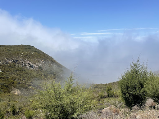
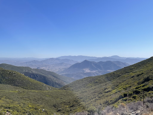
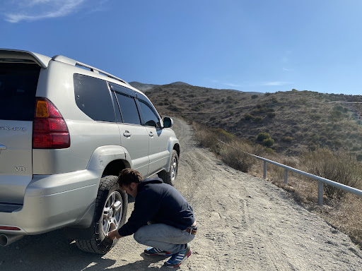
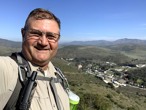
Outdoor
Adventure
Scenic
Pet friendly
Off the beaten path
attractions: , restaurants: , local businesses:
Plan your stay

Pet-friendly Hotels in Rancho San Diego
Find a cozy hotel nearby and make it a full experience.

Affordable Hotels in Rancho San Diego
Find a cozy hotel nearby and make it a full experience.

The Coolest Hotels You Haven't Heard Of (Yet)
Find a cozy hotel nearby and make it a full experience.

Trending Stays Worth the Hype in Rancho San Diego
Find a cozy hotel nearby and make it a full experience.
Reviews
Live events

Community Youth Forums | South County
Wed, Feb 25 • 4:00 PM
1387 Third Avenue Chula Vista, CA 91911
View details

A NEW Hansa 303 for The KMAC Foundation
Fri, Feb 27 • 6:00 PM
1201 1st Street #101 Coronado, CA 92118
View details

IB Majhong Meetup
Thu, Feb 26 • 5:00 PM
800 Seacoast Drive Imperial Beach, CA 91932
View details