McAfee Knob Trailhead things to do, attractions, restaurants, events info and trip planning
Basic Info
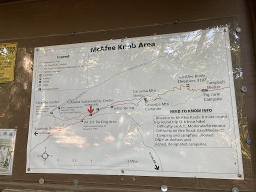
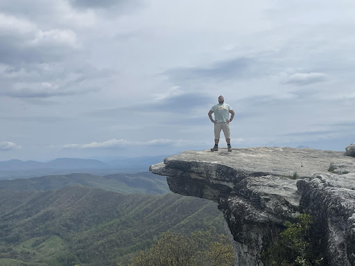
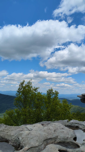
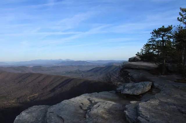
McAfee Knob Trailhead
Catawba Valley Dr, Catawba, VA 24070, United States
4.9(576)
Open until 12:00 AM
Save
spot
spot
Ratings & Description
Info
Outdoor
Adventure
Scenic
Family friendly
Pet friendly
attractions: , restaurants: , local businesses:
Website
mcafeeshuttle.com
Open hoursSee all hours
SunOpen 24 hoursOpen
Plan your stay

Pet-friendly Hotels in Salem
Find a cozy hotel nearby and make it a full experience.

Affordable Hotels in Salem
Find a cozy hotel nearby and make it a full experience.

The Coolest Hotels You Haven't Heard Of (Yet)
Find a cozy hotel nearby and make it a full experience.

Trending Stays Worth the Hype in Salem
Find a cozy hotel nearby and make it a full experience.
Reviews
Live events

TAPs Black History Celebration
Thu, Feb 12 • 10:00 AM
1 Mountain Avenue Southwest Roanoke, VA 24016
View details

Candlelight: Coldplay & Imagine Dragons
Fri, Feb 13 • 6:30 PM
110 Salem Avenue Southeast, Roanoke, 24011
View details

Big Lick Comic Con - Roanoke February
Sat, Feb 7 • 10:00 AM
Berglund Center, 710 Williamson Rd NE,Roanoke, Virginia, United States
View details