Mount Riga State Park things to do, attractions, restaurants, events info and trip planning
Basic Info
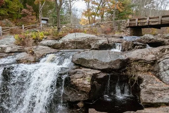
Mount Riga State Park
Undermountain Trailhead Parking Area, Under Mountain Rd, Salisbury, CT 06068
4.6(61)
Open until 12:00 AM
Save
spot
spot
Ratings & Description
Info
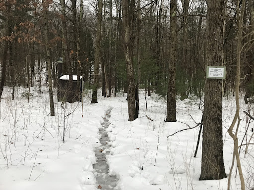
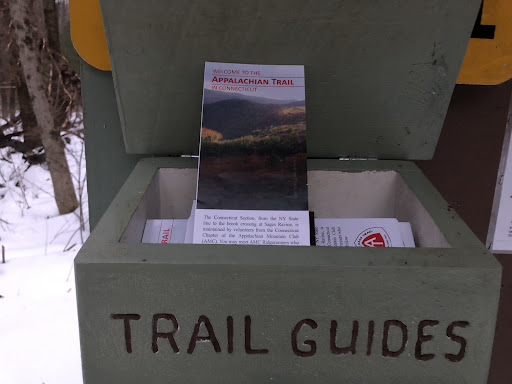
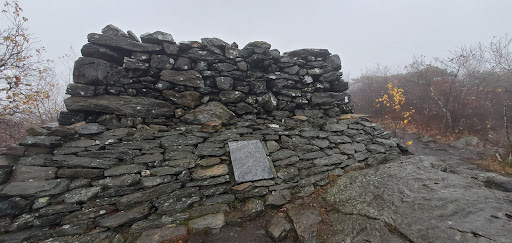
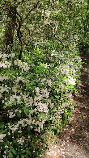
Mount Riga State Park is an undeveloped public recreation area located in the town of Salisbury, Connecticut. The state park offers opportunities for hiking and bow hunting.
Outdoor
Adventure
Scenic
Family friendly
Pet friendly
Off the beaten path
attractions: , restaurants: , local businesses:
Phone
(860) 424-3000
Website
portal.ct.gov
Open hoursSee all hours
SatOpen 24 hoursOpen
Plan your stay

Pet-friendly Hotels in Salisbury
Find a cozy hotel nearby and make it a full experience.

Affordable Hotels in Salisbury
Find a cozy hotel nearby and make it a full experience.

The Coolest Hotels You Haven't Heard Of (Yet)
Find a cozy hotel nearby and make it a full experience.

Trending Stays Worth the Hype in Salisbury
Find a cozy hotel nearby and make it a full experience.
Reviews
Live events

Villains in Your Backyard: Practical Strategies for Managing Invasive Plants at Home & on Your Land
Sat, Feb 21 • 10:00 AM
63 Main St, Sharon, CT 06069-2006, United States
View details

Indigo Room: Chrissi Poland
Sat, Feb 21 • 8:00 PM
20 Castle St, Great Barrington, MA 01230-1513, United States
View details

W.E.B. Du Bois- An American Hero
Sat, Feb 21 • 5:00 PM
600 Stockbridge Road Great Barrington, MA 01230
View details