Charco El Pilón things to do, attractions, restaurants, events info and trip planning
Basic Info
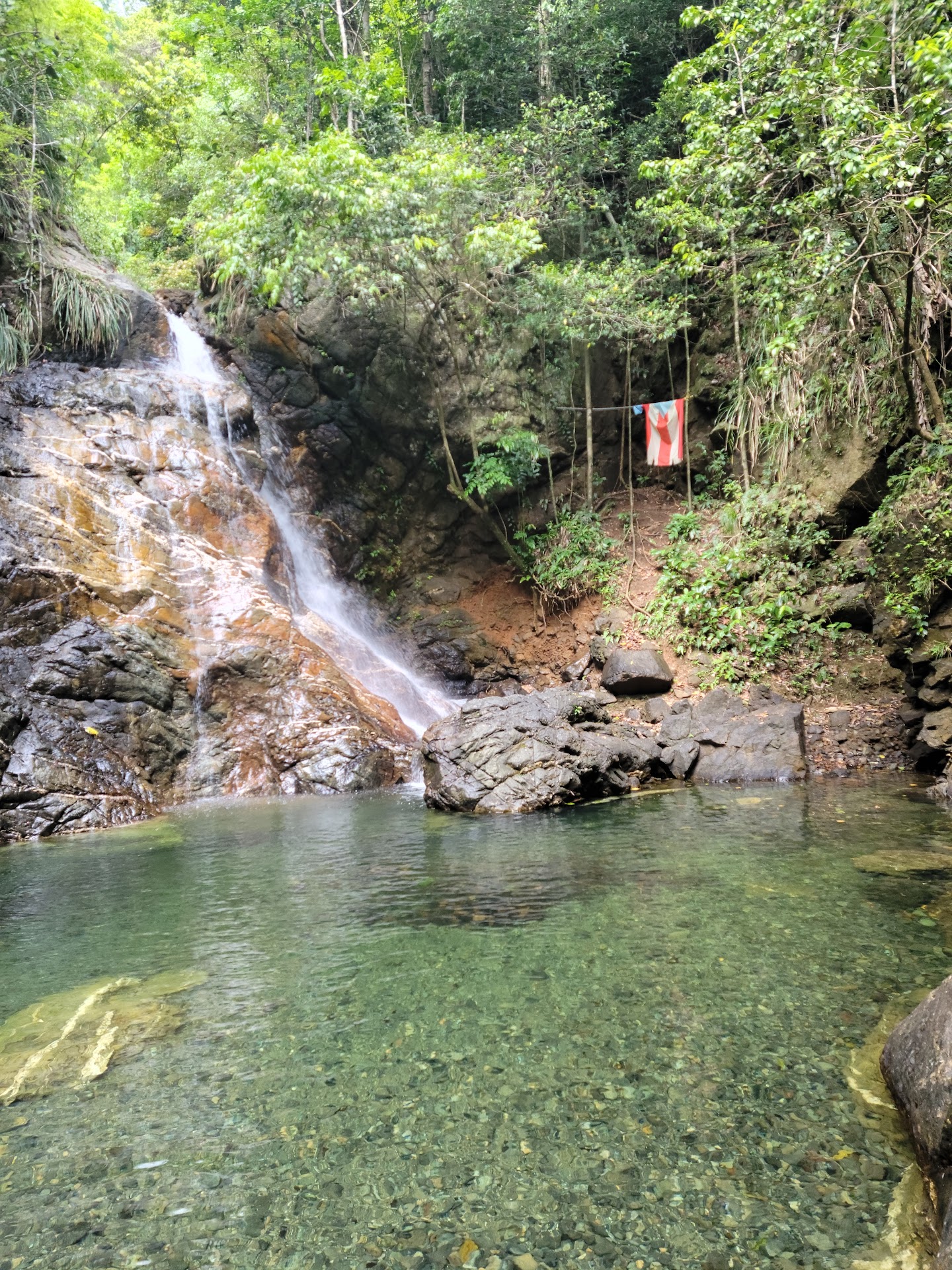
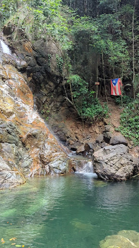
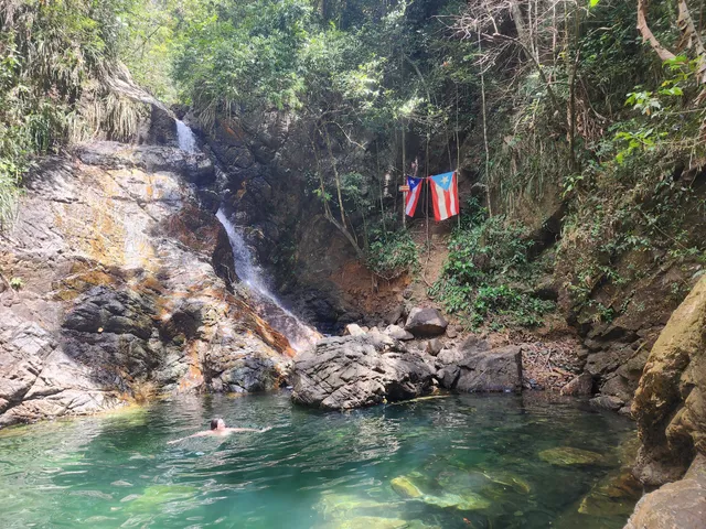
Charco El Pilón
42M5+HJ3, San Germán 00683, Puerto Rico
4.7(147)
Closed
Save
spot
spot
Ratings & Description
Info
Outdoor
Adventure
Scenic
Off the beaten path
attractions: , restaurants: , local businesses:
Open hoursSee all hours
Fri8 AM - 6 PMClosed
Plan your stay

Pet-friendly Hotels in San Germán
Find a cozy hotel nearby and make it a full experience.

Affordable Hotels in San Germán
Find a cozy hotel nearby and make it a full experience.

The Coolest Hotels You Haven't Heard Of (Yet)
Find a cozy hotel nearby and make it a full experience.

Trending Stays Worth the Hype in San Germán
Find a cozy hotel nearby and make it a full experience.
Reviews
Live events
Discover the magic of coffee growing with a farmer
Fri, Feb 20 • 10:00 AM
Adjuntas, 00601, Puerto Rico
View details
Gozalandia Waterfalls Amazing Experience
Sat, Feb 21 • 10:30 AM
San Sebastián, 00685, Puerto Rico
View details

Learn about medicinal plants from Puerto Rico
Fri, Feb 20 • 9:30 AM
Voladoras, 00676, Puerto Rico
View details