Hike: Sierra Vista Trail: Take Kestler trail from parking lot, you'll end up at a fork, go right towards boccardo loop and you'll find a small hill to climb when you reach another fork, do that climb to see the entire Bay Area below you. Then get back down to the fork which is the start of Sierra Vista Trail and keep following directions walking towards Lower Calaveras fault trail and experience the Alum Rock Canyon/Valley. Come back the same route to the fork and back through kestler trail to the parking lot.
This place has some amazing trails to hike on. We did the Sierra Vista Trail (moderate difficulty) which is a point to point trail boasting views of entire bay area at one end and the peaceful and tranquil Alum Rock Valley on the other end. It's a 6.23 mile hike best done early morning as sunrise is absolutely spectacular here.
Mind you there are limited parking spots (20-25 ish) and it is monitored by rangers and they only let 3 cars to stay in queue if it gets full.
There are many trails to hike on and all of them provide stunning views and totally undisturbed and peaceful experience. (Preferably do it early morning which I highly recommend)
It gets warm and you will sweat it out so carry ample water, have shoes with grips as some paths are narrow and dusty which might cause you to slip if you have a shoe with little or worn out treads. Also there are no restrooms anywhere so do all the work back home and go there.
Since it's an open space preserve, you'll find wild animals roaming about, we sighted 3 to 4 coyotes right ahead of us on our trail. So kindly be respectful and keep to yourself and avoid getting too close to them or make them feel threatened in any way.
All in all, an amazing place to visit and...
Read moreFor years, I'd wondered what was at the top of Sierra Road. When I was a child, my sister and I would go with our parents to Oliver's Egg Ranch, and that road always seemed so mysterious, winding its way up into the hills. Now, at 53, I finally made the drive with my husband. It was worth the wait.
The drive itself was a bit narrow and winding but that was okay being that I wasn't the one driving. I was in awe the whole way and the scenery at the top was breathtaking . 
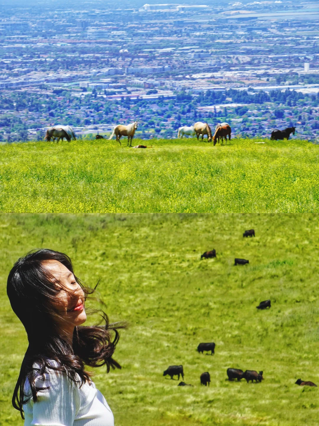
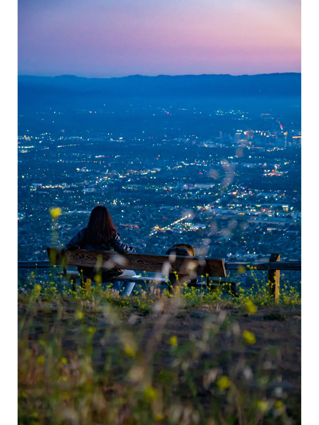
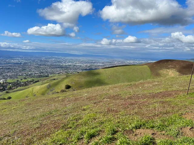
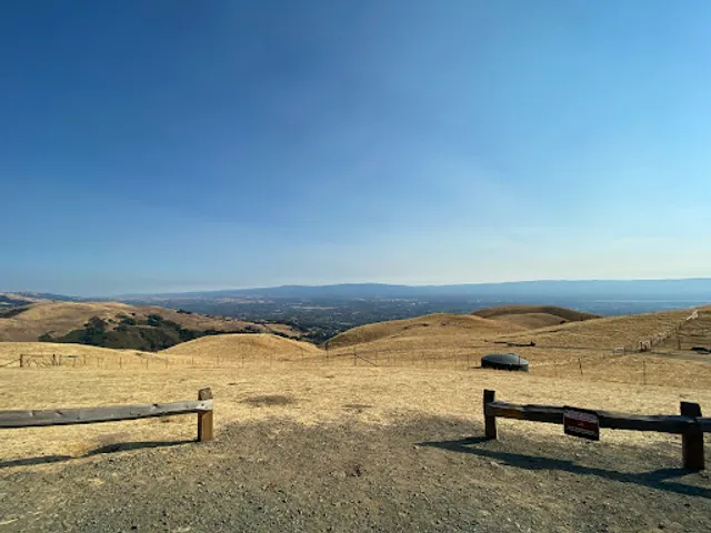
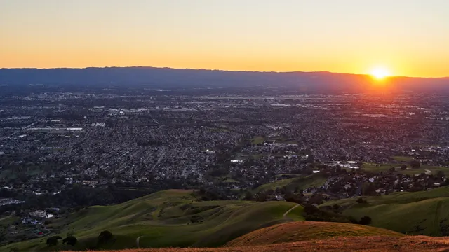
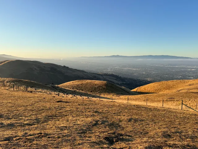
Sierra Vista Open Space Preserve is the perfect name; the views are expansive and beautiful. However, it was much colder than I expected, so we had to cut our visit short.
It's important to note that dogs aren't allowed in the preserve, and there's a good reason. Large birds of prey live in the area, and they could easily pose a threat to small animals.
Just before entering the car, I saw a large turkey vulture—and I mean right there, inches from my head! I'm glad I got in when I did; it felt like something out of Final Destination for a second there. 😬 It definitely made me appreciate the rule about not bringing dogs.
Besides that close call and all the warning signs of snakes and other potentially scary animals inhabiting the area ,Sierra Vista has many hiking trails and awesome views.
I was impressed with the preserve overall. I plan to return, but definitely when the...
Read moreA unique place to hike and take in Silicon Valley from above. The drive up to the trailhead is not too long, but the road can be steep, curving, and narrow-- be careful on the drive up. There is a parking lot at the trailhead with paved and unpaved spaces that can be tight but will fit longer vehicles. At the far end of the parking lot adjacent to the trail, there is a map of the area with free maps available for review.
The trail has a steep, mostly smooth descent, though it is unpaved. There is minimal tree cover, but the area is lush with grass in March and April (as long as it's a rainy winter). The most unique feature is that cows are all over the place. They aren't too shy, but do not like interaction. Moreover, they drop cowpies all over, so watch your step! But, there are plenty of good photo ops-- loved the trail, the sights, and the sounds. The smell of cow and cowpies is bit tough if you're not used to it.
The trail is a flat-to-steep descent that is about 2.5 miles long. At the bottom of the Boccardo loop, there is the option to continue hiking lower. If you loop back up, the total trail is about 5.0 miles. It's a tough uphill if you're not expecting it, especially with the...
Read more