Big Rock Road Trail things to do, attractions, restaurants, events info and trip planning
Basic Info
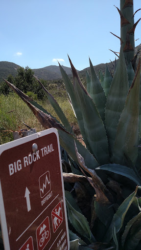
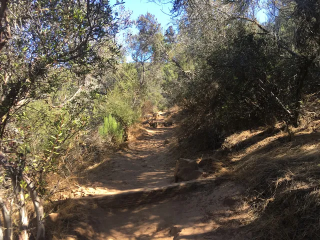
Big Rock Road Trail
8301 Big Rock Rd, Santee, CA 92071
4.6(96)
Open until 12:00 AM
Save
spot
spot
Ratings & Description
Info
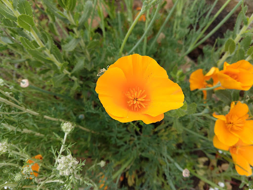
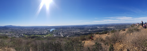
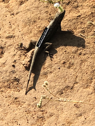
Outdoor
Adventure
Scenic
Pet friendly
Family friendly
attractions: Big Rock Park, Big Rock Trailhead, Mesa Trailhead (Cowles Mountain), restaurants: , local businesses:
Open hoursSee all hours
WedOpen 24 hoursOpen
Plan your stay

Pet-friendly Hotels in Santee
Find a cozy hotel nearby and make it a full experience.

Affordable Hotels in Santee
Find a cozy hotel nearby and make it a full experience.

The Coolest Hotels You Haven't Heard Of (Yet)
Find a cozy hotel nearby and make it a full experience.

Trending Stays Worth the Hype in Santee
Find a cozy hotel nearby and make it a full experience.
Reviews
Live events

53rd Annual Conference on Sail Training and Tall Ships
Sun, Feb 8 • 1:00 PM
2800 Olympic Parkway Chula Vista, CA 91915
View details

The Front Row at Scripps Research: lecture with Yuzhong Liu, PhD
Wed, Feb 11 • 4:00 PM
10620 John Jay Hopkins Drive San Diego, CA 92121
View details

CLUB CORONADO - An Adult Happy Hour Dance Party! For EARLY BIRDS! Feb.11th
Wed, Feb 11 • 5:00 PM
557 Orange Avenue Coronado, CA 92118
View details
Nearby attractions of Big Rock Road Trail
Big Rock Park
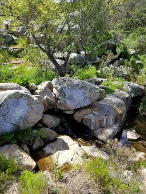
Big Rock Trailhead
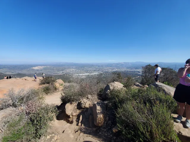
Mesa Trailhead (Cowles Mountain)
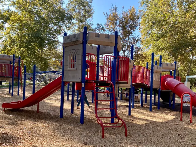
Big Rock Park
4.6
(439)
Open until 10:00 PM
Click for details
Big Rock Trailhead
4.8
(88)
Open until 12:00 AM
Click for details
Mesa Trailhead (Cowles Mountain)
4.7
(19)
Open until 12:00 AM
Click for details