Crow Flies High State Recreation Area things to do, attractions, restaurants, events info and trip planning
Basic Info
Crow Flies High State Recreation Area
10031 ND-23, New Town, ND 58763
4.7(123)
Open until 12:00 AM

tickets
Save
spot
spot
Ratings & Description
Info
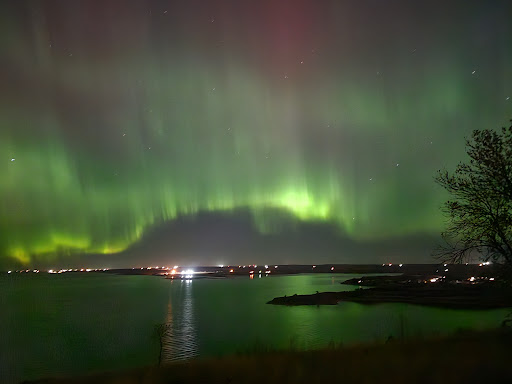
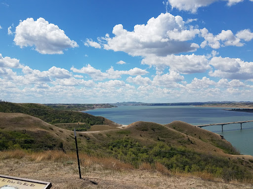
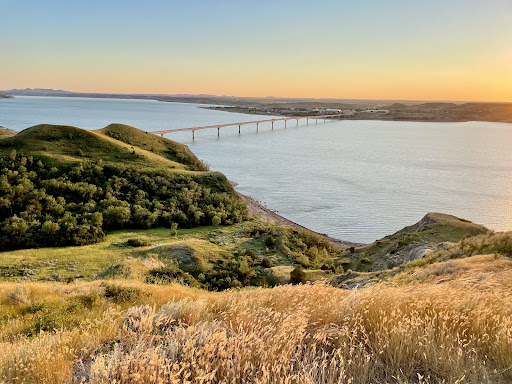
Crow Flies High State Recreation Area is a scenic overlook located two miles west of New Town in Mountrail County, North Dakota. The site provides scenic views of Lake Sakakawea. Signs describe the location's role in local history, including its significance in the explorations of Lewis and Clark.
Outdoor
Scenic
Relaxation
Family friendly
Pet friendly
attractions: , restaurants: , local businesses:
Website
parkrec.nd.gov
Open hoursSee all hours
Fri6 AM - 12 AMOpen
Plan your stay

Pet-friendly Hotels in Shell Creek Segment
Find a cozy hotel nearby and make it a full experience.

Affordable Hotels in Shell Creek Segment
Find a cozy hotel nearby and make it a full experience.

The Coolest Hotels You Haven't Heard Of (Yet)
Find a cozy hotel nearby and make it a full experience.

Trending Stays Worth the Hype in Shell Creek Segment
Find a cozy hotel nearby and make it a full experience.