Heublein Tower things to do, attractions, restaurants, events info and trip planning

Basic Info
Heublein Tower
1 Summit Drive, Simsbury, CT 06070
4.8(349)
Open until 4:00 PM
Save
spot
spot
Ratings & Description
Info
The 165-foot-tall Heublein Tower is located in Talcott Mountain State Park in Simsbury, Connecticut, United States and provides panoramic views of the Hartford skyline, the Farmington River Valley, and surrounding areas that are particularly spectacular in the fall.
Cultural
Outdoor
Scenic
Adventure
Family friendly
attractions: , restaurants: Two Sisters Ice Cream, local businesses: Tower Ridge Disc Golf Course
Phone
(860) 242-1158
Website
portal.ct.gov
Open hoursSee all hours
Mon10 AM - 4 PMOpen
Plan your stay

Pet-friendly Hotels in Simsbury
Find a cozy hotel nearby and make it a full experience.

Affordable Hotels in Simsbury
Find a cozy hotel nearby and make it a full experience.

The Coolest Hotels You Haven't Heard Of (Yet)
Find a cozy hotel nearby and make it a full experience.

Trending Stays Worth the Hype in Simsbury
Find a cozy hotel nearby and make it a full experience.
Reviews
Live events

Rhinestone Tumbler Class hosted by Coralys Creations
Sat, Feb 28 • 10:00 AM
67 Race Street Bristol, CT 06706
View details

Cross Stitch Craft Night at River Bend Bookshop
Thu, Feb 26 • 6:00 PM
161 Park Road West Hartford, CT 06119
View details

Drag Roast
Sun, Mar 1 • 1:00 PM
829 Main Street Manchester, CT 06040
View details
Nearby restaurants of Heublein Tower
Two Sisters Ice Cream

Two Sisters Ice Cream
4.5
(16)
Click for details
Nearby local services of Heublein Tower
Tower Ridge Disc Golf Course
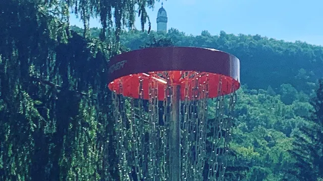
Tower Ridge Disc Golf Course
4.8
(45)
Click for details