Fort Craig Historic Site things to do, attractions, restaurants, events info and trip planning
Basic Info
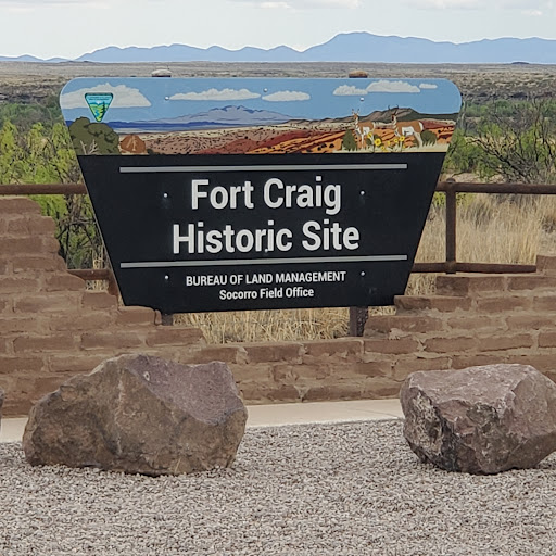
Fort Craig Historic Site
Fort Craig, San Antonio, NM 87832
4.5(104)
Closed
Save
spot
spot
Ratings & Description
Info
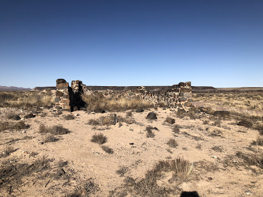
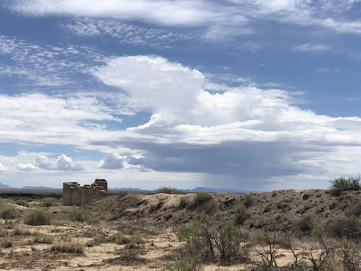
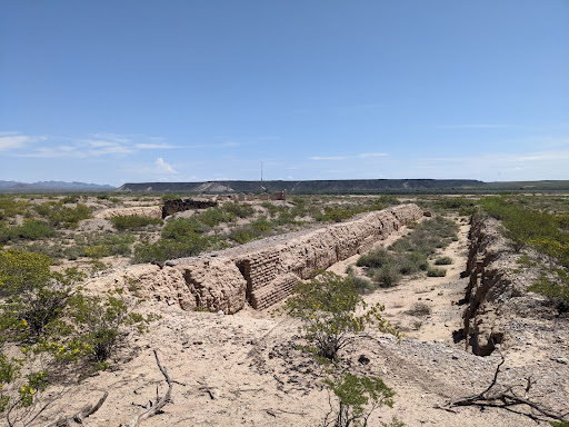
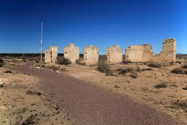
Fort Craig was a U.S. Army fort located along El Camino Real de Tierra Adentro, near Elephant Butte Lake State Park and the Rio Grande in Socorro County, New Mexico. The Fort Craig site was approximately 1,050 feet east-west by 600 feet north-south and was located on 40 acres.
Cultural
Outdoor
Scenic
Family friendly
Off the beaten path
attractions: , restaurants: , local businesses:
Phone
(575) 835-0412
Website
blm.gov
Open hoursSee all hours
Mon8 AM - 5 PMClosed
Plan your stay

Pet-friendly Hotels in Socorro
Find a cozy hotel nearby and make it a full experience.

Affordable Hotels in Socorro
Find a cozy hotel nearby and make it a full experience.

The Coolest Hotels You Haven't Heard Of (Yet)
Find a cozy hotel nearby and make it a full experience.

Trending Stays Worth the Hype in Socorro
Find a cozy hotel nearby and make it a full experience.