Alston Trailhead - Palmetto Trail things to do, attractions, restaurants, events info and trip planning

Basic Info
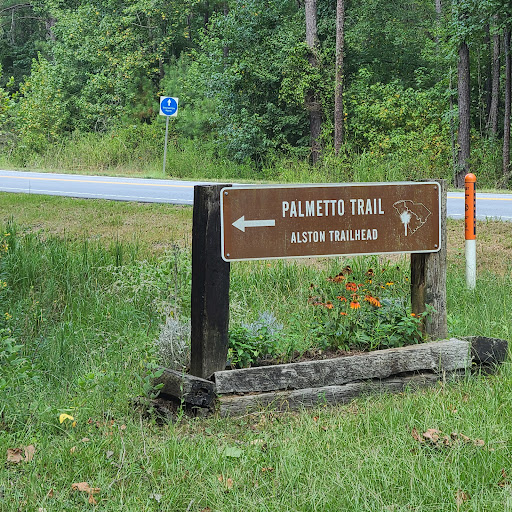
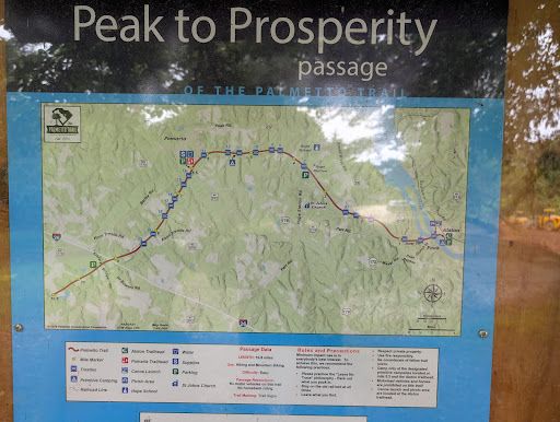
Alston Trailhead - Palmetto Trail
State Rd S-20-35, Little Mountain, SC 29075
4.8(187)
Open until 12:00 AM
Save
spot
spot
Ratings & Description
Info
Outdoor
Adventure
Scenic
Pet friendly
Off the beaten path
attractions: , restaurants: , local businesses:
Phone
(803) 904-6515
Website
palmettotrail.org
Open hoursSee all hours
SatOpen 24 hoursOpen
Plan your stay

Pet-friendly Hotels in South Carolina
Find a cozy hotel nearby and make it a full experience.

Affordable Hotels in South Carolina
Find a cozy hotel nearby and make it a full experience.

The Coolest Hotels You Haven't Heard Of (Yet)
Find a cozy hotel nearby and make it a full experience.

Trending Stays Worth the Hype in South Carolina
Find a cozy hotel nearby and make it a full experience.
Reviews
Live events

Repticon Columbia
Sat, Feb 21 • 9:00 AM
Jamil Shrine Temple, 206 Jamil Rd, Columbia, SC 29210-5253, United States
View details

ARTMAKERS BOOTCAMP: The Wish Box
Sat, Feb 21 • 10:00 AM
7336 Woodrow St., Irmo, SC, United States, South Carolina 29063
View details

Valentines Day Aerial Workship
Sat, Feb 21 • 11:30 AM
4047 Broad River Rd, Columbia, SC, United States
View details