Congaree National Park things to do, attractions, restaurants, events info and trip planning
Basic Info
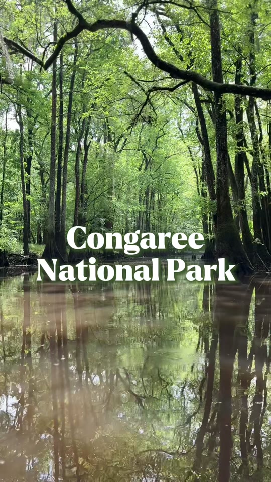
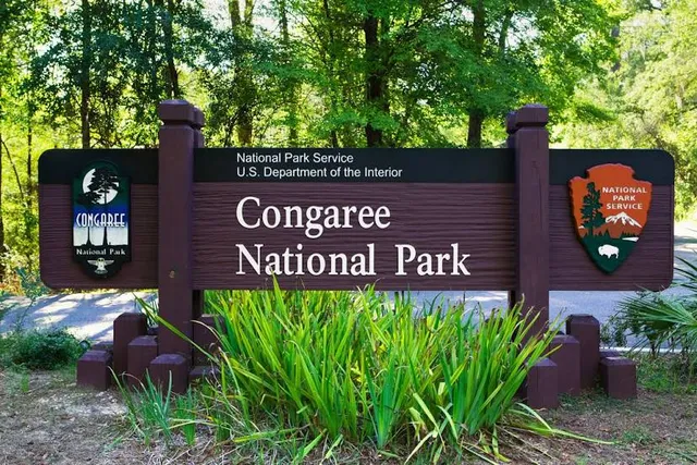
Congaree National Park
South Carolina, United States
4.7(766)
Open 24 hours
Save
spot
spot
Ratings & Description
Info
Congaree National Park is a 26,692.6-acre American national park in central South Carolina, 18 miles southeast of the state capital, Columbia. The park preserves the largest tract of old growth bottomland hardwood forest left in the United States.
Outdoor
Adventure
Family friendly
attractions: , restaurants: , local businesses:
Phone
+1 803-776-4396
Website
nps.gov
Plan your stay

Pet-friendly Hotels in St. Matthews
Find a cozy hotel nearby and make it a full experience.

Affordable Hotels in St. Matthews
Find a cozy hotel nearby and make it a full experience.

The Coolest Hotels You Haven't Heard Of (Yet)
Find a cozy hotel nearby and make it a full experience.

Trending Stays Worth the Hype in St. Matthews
Find a cozy hotel nearby and make it a full experience.
Reviews
Live events

Ty Myers Tickets
Thu, Feb 26 • 7:30 PM
Columbia, SC, Sandy Run, South Carolina, Gaston, United States
View details

What To Know- Homebuying Seminar
Sat, Feb 28 • 9:00 AM
121 John Mark Dial Drive Columbia, SC 29209
View details

Marriage Day Camp
Sat, Feb 28 • 10:00 AM
11500 Garners Ferry Road Eastover, SC 29044
View details