Rubicon Trailhead South things to do, attractions, restaurants, events info and trip planning
Basic Info
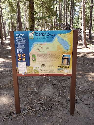
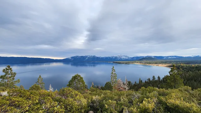
Rubicon Trailhead South
XW48+2C, Emerald Bay, CA 96150
4.8(39)
Open until 12:00 AM
Save
spot
spot
Ratings & Description
Info
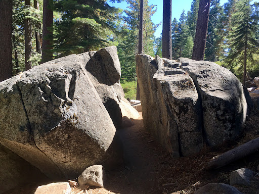
Outdoor
Adventure
Scenic
Family friendly
Pet friendly
Off the beaten path
attractions: Emerald Bay, restaurants: , local businesses:
Open hoursSee all hours
SatOpen 24 hoursOpen
Plan your stay

Pet-friendly Hotels in South Lake Tahoe
Find a cozy hotel nearby and make it a full experience.

Affordable Hotels in South Lake Tahoe
Find a cozy hotel nearby and make it a full experience.

The Coolest Hotels You Haven't Heard Of (Yet)
Find a cozy hotel nearby and make it a full experience.

Trending Stays Worth the Hype in South Lake Tahoe
Find a cozy hotel nearby and make it a full experience.
Reviews
Live events

Next Stop Comedy at South of North Brewing Company! - South Lake Tahoe, CA
Sat, Feb 7 • 8:00 PM
932 Stateline Avenue #Suite B, South Lake Tahoe, CA 96150
View details
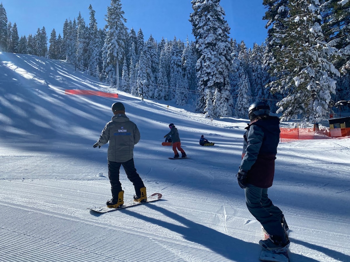
Learn to Ski in Tahoe
Fri, Feb 13 • 2:00 PM
Tahoe City, California, 96145
View details
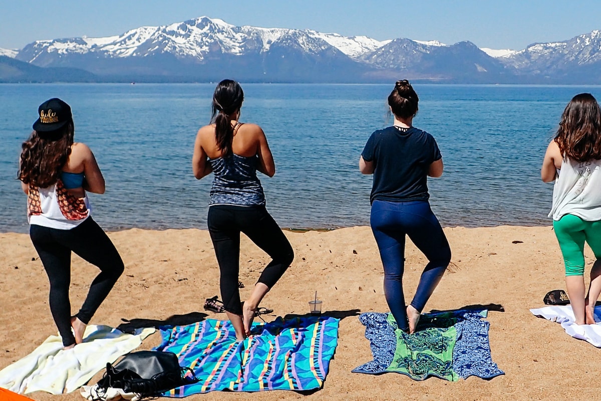
Practice Beach Yoga on the Shore of Lake Tahoe
Sat, Feb 7 • 5:30 PM
Zephyr Cove, Nevada, 89448
View details
Nearby attractions of Rubicon Trailhead South
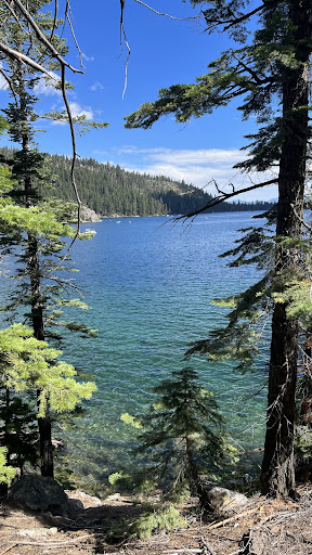
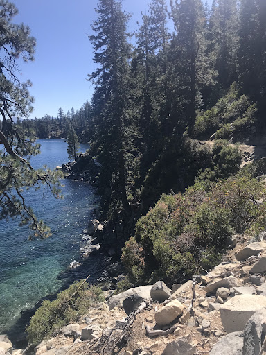
Emerald Bay
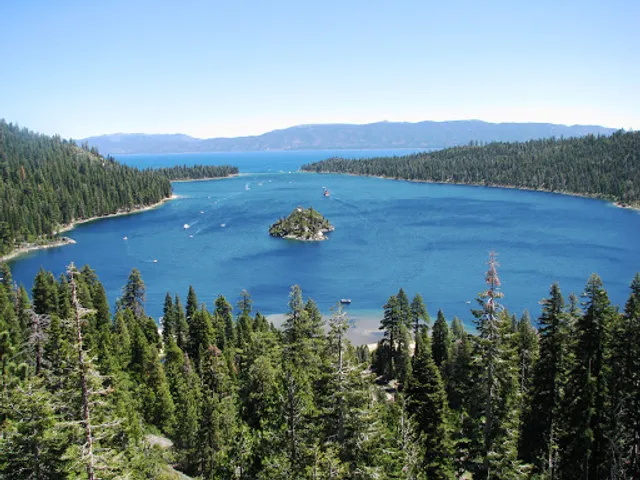
Emerald Bay
4.8
(40)
Open 24 hours
Click for details