Grays Arch Recreation Area things to do, attractions, restaurants, events info and trip planning
Basic Info
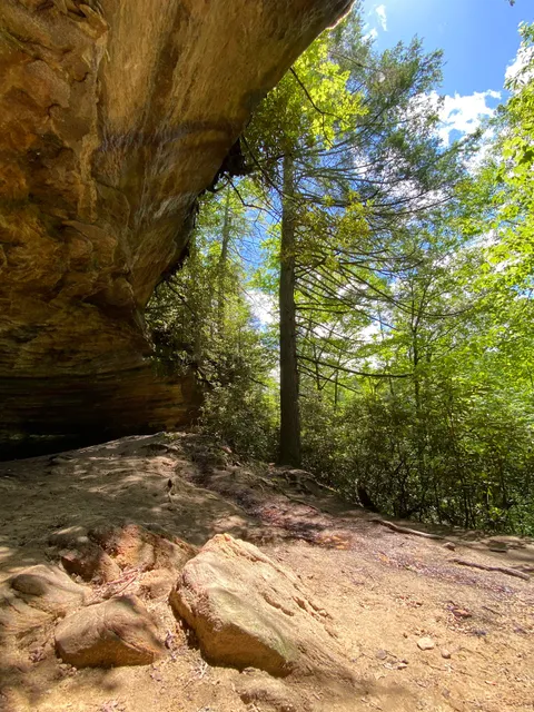
Grays Arch Recreation Area
Fd-1103, Stanton, KY 40380
4.9(130)
Open until 12:00 AM
Save
spot
spot
Ratings & Description
Info
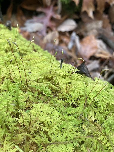
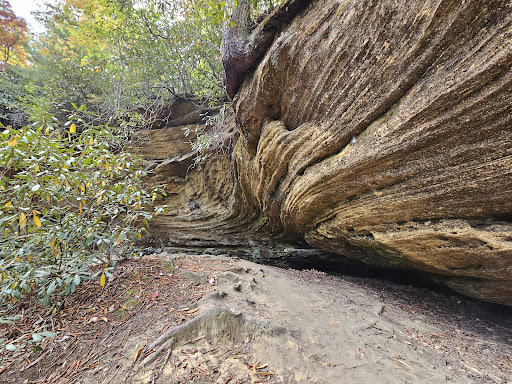
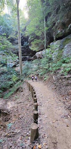
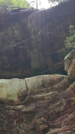
Outdoor
Adventure
Scenic
Family friendly
Pet friendly
Off the beaten path
attractions: , restaurants: , local businesses:
Website
fs.usda.gov
Open hoursSee all hours
SatOpen 24 hoursOpen
Plan your stay

Pet-friendly Hotels in Stanton
Find a cozy hotel nearby and make it a full experience.

Affordable Hotels in Stanton
Find a cozy hotel nearby and make it a full experience.

The Coolest Hotels You Haven't Heard Of (Yet)
Find a cozy hotel nearby and make it a full experience.

Trending Stays Worth the Hype in Stanton
Find a cozy hotel nearby and make it a full experience.
Reviews
Live events

Quarter 1- Trail Clean up on the DBBB
Sat, Feb 21 • 9:00 AM
5515 Campton Rd, Stanton, KY 40380-9784, United States
View details

2026 Spring Baseball & T-Ball In-Person Registration
Sat, Feb 21 • 2:00 PM
Stanton City Park, The Blacktop Track, Pirate Dr, Stanton, KY 40380, United States
View details