Hickman Natural Bridge things to do, attractions, restaurants, events info and trip planning

Basic Info
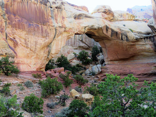
Hickman Natural Bridge
Utah
4.8(272)
Open until 12:00 AM
Save
spot
spot
Ratings & Description
Info
Hickman Natural Bridge is a 125-foot-tall natural bridge located in Capitol Reef National Park, Wayne County, Utah, United States. The formation spans 133 feet, making it one of the largest rock spans in the park.
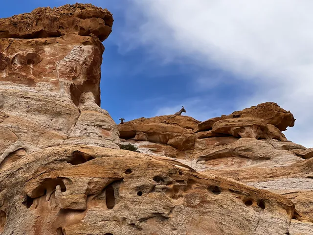
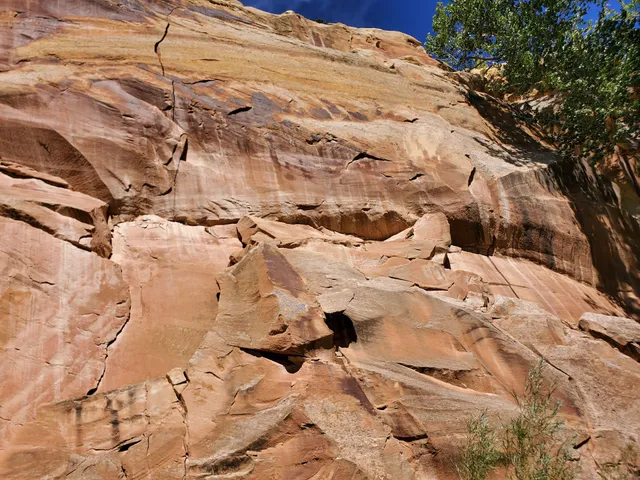
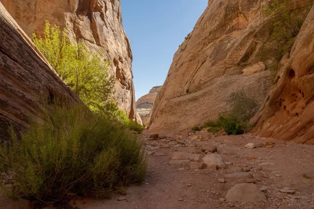
Outdoor
Adventure
Scenic
Family friendly
Pet friendly
Off the beaten path
attractions: Hickman Bridge, Rim Overlook and Navajo Knobs Trailhead, Petroglyph Panels, restaurants: , local businesses: Cohab Canyon
Phone
(435) 425-3791
Website
nps.gov
Open hoursSee all hours
SatOpen 24 hoursOpen
Plan your stay

Pet-friendly Hotels in Teasdale
Find a cozy hotel nearby and make it a full experience.

Affordable Hotels in Teasdale
Find a cozy hotel nearby and make it a full experience.

The Coolest Hotels You Haven't Heard Of (Yet)
Find a cozy hotel nearby and make it a full experience.

Trending Stays Worth the Hype in Teasdale
Find a cozy hotel nearby and make it a full experience.
Reviews
Nearby attractions of Hickman Natural Bridge
Hickman Bridge, Rim Overlook and Navajo Knobs Trailhead
Petroglyph Panels
Hickman Bridge, Rim Overlook and Navajo Knobs Trailhead
4.8
(170)
Open until 12:00 AM
Click for details
Petroglyph Panels
4.6
(278)
Open until 12:00 AM
Click for details
Nearby local services of Hickman Natural Bridge
Cohab Canyon
Cohab Canyon
5.0
(5)
Click for details