Montgomery County Preserve things to do, attractions, restaurants, events info and trip planning
Basic Info
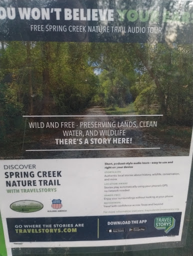
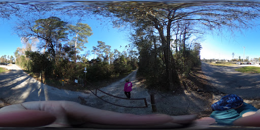
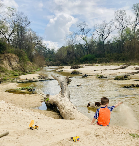
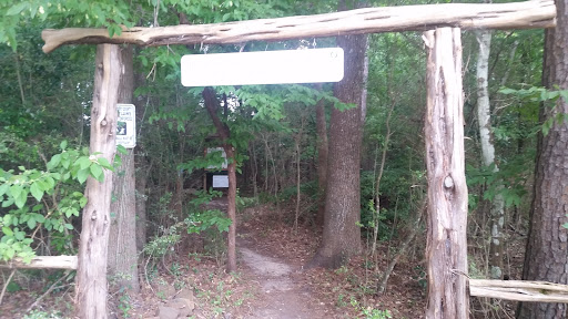
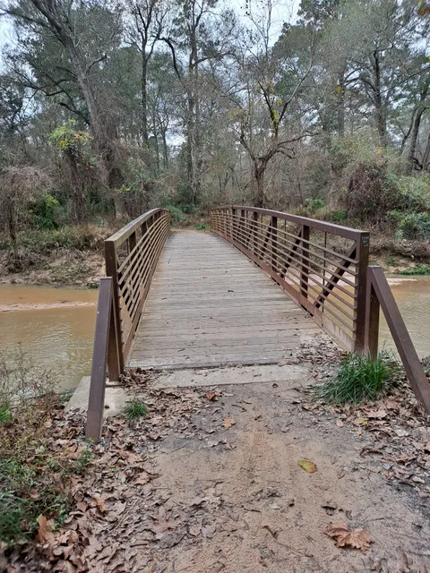
Montgomery County Preserve
1118 Pruitt Rd, The Woodlands, TX 77380
4.5(118)
Open 24 hours
Save
spot
spot
Ratings & Description
Info
Outdoor
Adventure
Scenic
Family friendly
Pet friendly
attractions: , restaurants: Chick-fil-A, Tejas
Phone
(281) 576-1634
Website
mctx.org
Plan your stay

Pet-friendly Hotels in The Woodlands
Find a cozy hotel nearby and make it a full experience.

Affordable Hotels in The Woodlands
Find a cozy hotel nearby and make it a full experience.

The Coolest Hotels You Haven't Heard Of (Yet)
Find a cozy hotel nearby and make it a full experience.

Trending Stays Worth the Hype in The Woodlands
Find a cozy hotel nearby and make it a full experience.
Reviews
Things to do nearby

Learn easy dim sum
Wed, Jan 7 • 10:30 AM
Spring, Texas, 77379
View details

The Woodlands Murder Mystery: Solve the case!
Thu, Jan 1 • 12:00 AM
9595 Six Pines Dr Suite 8200, The Woodlands, 77380
View details

28th & Yale
Sun, Jan 4 • 12:00 PM
6643 W Montgomery Rd, 6643 West Montgomery Road, Houston, United States
View details
Nearby restaurants of Montgomery County Preserve
Chick-fil-A
Tejas

Chick-fil-A
4.0
(26)
$
Click for details

Tejas
5.0
(1)
Click for details