Panther Creek Trail Waterfall things to do, attractions, restaurants, events info and trip planning
Basic Info
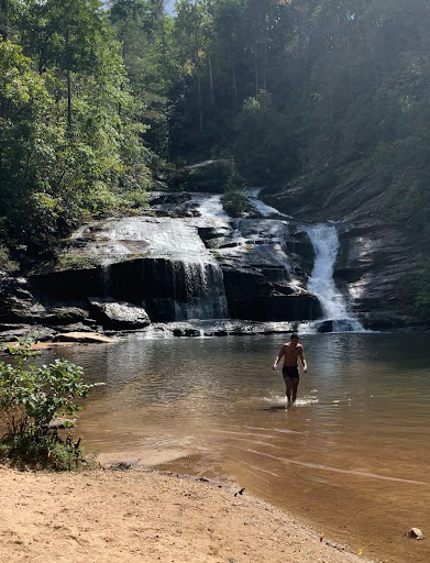
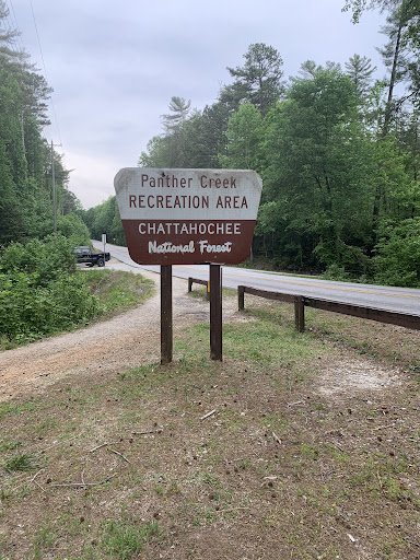
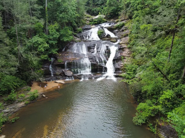
Panther Creek Trail Waterfall
Clarkesville, GA 30523
4.7(184)
Open until 9:00 PM
Save
spot
spot
Ratings & Description
Info
Outdoor
Adventure
Scenic
Family friendly
Pet friendly
attractions: , restaurants: , local businesses:
Open hoursSee all hours
Fri5 AM - 9 PMOpen
Plan your stay

Pet-friendly Hotels in Toccoa
Find a cozy hotel nearby and make it a full experience.

Affordable Hotels in Toccoa
Find a cozy hotel nearby and make it a full experience.

The Coolest Hotels You Haven't Heard Of (Yet)
Find a cozy hotel nearby and make it a full experience.

Trending Stays Worth the Hype in Toccoa
Find a cozy hotel nearby and make it a full experience.
Reviews
Live events

ELVIS: In Person - Live At The Historic Ritz Theatre - Toccoa, GA
Fri, Feb 20 • 7:00 PM
166 West Doyle Street Toccoa, GA 30577
View details

Chili Cook-Off/Blind Draw Cornhole Tournament
Sat, Feb 21 • 9:30 AM
14 Remsdale St, Toccoa, GA, United States
View details
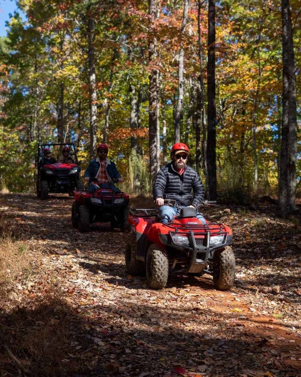
Atv guided mountain tour in Northeast Georgia
Sat, Feb 21 • 10:00 AM
Clarkesville, Georgia, 30523
View details