Britton Peak Trailhead things to do, attractions, restaurants, events info and trip planning
Basic Info
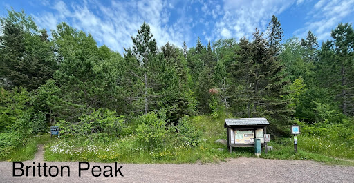
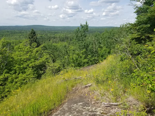
Britton Peak Trailhead
Superior Hiking Trail, Tofte, MN 55615, United States
4.8(77)
Open 24 hours
Save
spot
spot
Ratings & Description
Info
Outdoor
Adventure
Scenic
Pet friendly
Off the beaten path
attractions: , restaurants: , local businesses:
Website
sugarbushtrail.org
Plan your stay

Pet-friendly Hotels in Tofte Township
Find a cozy hotel nearby and make it a full experience.

Affordable Hotels in Tofte Township
Find a cozy hotel nearby and make it a full experience.

The Coolest Hotels You Haven't Heard Of (Yet)
Find a cozy hotel nearby and make it a full experience.

Trending Stays Worth the Hype in Tofte Township
Find a cozy hotel nearby and make it a full experience.
Reviews
Live events

Poplar River Condos Weekend Ski Shuttle
Sat, Feb 28 • 9:15 AM
580 Poplar River Road Lutsen, MN 55612
View details