Poke-O-Moonshine Mountain things to do, attractions, restaurants, events info and trip planning

Basic Info
Poke-O-Moonshine Mountain
Chesterfield, NY 12950
4.8(31)
Save
spot
spot
Ratings & Description
Info
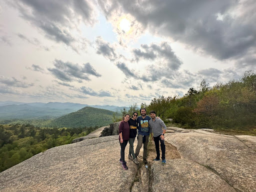
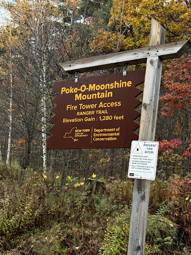
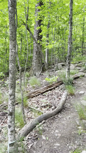
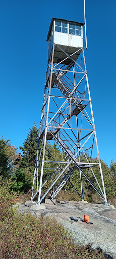
Poke-O-Moonshine Mountain, spelled Pokamoonshine on U.S. Geological Survey maps, and sometimes known as just Poke-O, is a minor peak of the Adirondack Mountains. The name is believed to be a corruption of the Algonquin words pohqui, meaning 'broken', and moosie, meaning 'smooth'.
Outdoor
Adventure
Scenic
Off the beaten path
Pet friendly
attractions: , restaurants: , local businesses:
Plan your stay

Pet-friendly Hotels in Town of Chesterfield
Find a cozy hotel nearby and make it a full experience.

Affordable Hotels in Town of Chesterfield
Find a cozy hotel nearby and make it a full experience.

The Coolest Hotels You Haven't Heard Of (Yet)
Find a cozy hotel nearby and make it a full experience.

Trending Stays Worth the Hype in Town of Chesterfield
Find a cozy hotel nearby and make it a full experience.
Reviews
Live events

Let’s Talk: Supporting Healthy Use of Media and Technology for Your Child
Tue, Jan 27 • 5:30 PM
1364 North Avenue Burlington, VT 05408
View details

Passing Lands Pop-up
Mon, Jan 26 • 3:00 PM
Pierson Library, 5376 Shelburne Rd.,Shelburne, Vermont, United States
View details

Salesforce Platform App Builder Certification Training in Burlington, VT
Wed, Jan 28 • 9:00 AM
Regus Business Center, Burlington, VT 05406
View details