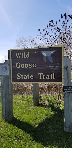
Wild Goose State Trail, Clyman Junction Trailhead things to do, attractions, restaurants, events info and trip planning
Basic Info
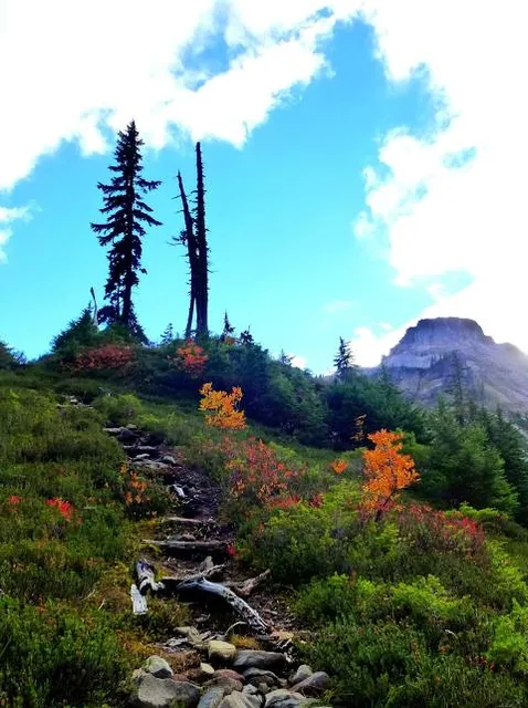
Wild Goose State Trail, Clyman Junction Trailhead
W6567 WI-60 Trunk, Juneau, WI 53039
4.6(36)
Open 24 hours
Save
spot
spot
Ratings & Description
Info
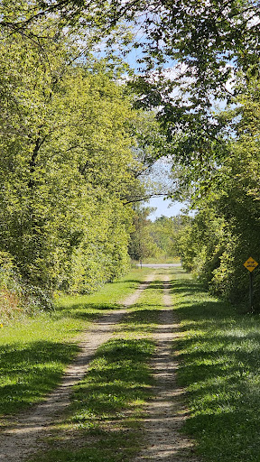
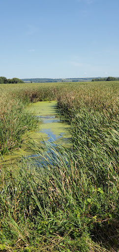
Outdoor
Adventure
Scenic
Family friendly
Pet friendly
attractions: , restaurants: , local businesses: Woods and Waters Fish Farm Inc.
Website
dnr.wisconsin.gov
Plan your stay

Pet-friendly Hotels in Town of Clyman
Find a cozy hotel nearby and make it a full experience.

Affordable Hotels in Town of Clyman
Find a cozy hotel nearby and make it a full experience.

The Coolest Hotels You Haven't Heard Of (Yet)
Find a cozy hotel nearby and make it a full experience.

Trending Stays Worth the Hype in Town of Clyman
Find a cozy hotel nearby and make it a full experience.
Reviews
Live events

Watertown Family Connections Play Group
Mon, Jan 26 • 9:00 AM
100 S Water St Watertown, WI 53094
View details

The Ultimate Puzzle Challenge
Wed, Jan 28 • 6:00 PM
234 N. John St., Mayville, WI, United States
View details

Jigsaw Puzzle Contest
Thu, Jan 29 • 5:30 PM
250 N. Fairfield Avenue, Juneau, WI, United States, Wisconsin 53916
View details
Nearby local services of Wild Goose State Trail, Clyman Junction Trailhead
Woods and Waters Fish Farm Inc.
Woods and Waters Fish Farm Inc.
4.2
(12)
Click for details