Schunnemunk State Park things to do, attractions, restaurants, events info and trip planning

Basic Info
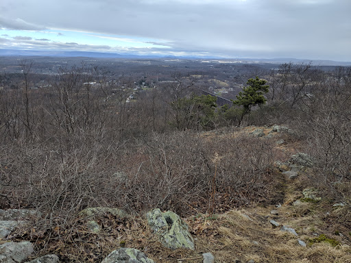
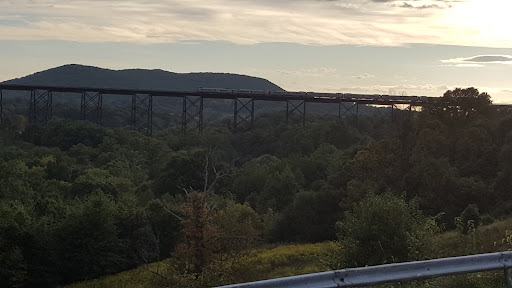
Schunnemunk State Park
339 Otterkill Rd, New Windsor, NY 12553
4.6(249)
Open 24 hours
Save
spot
spot
Ratings & Description
Info
Outdoor
Adventure
Scenic
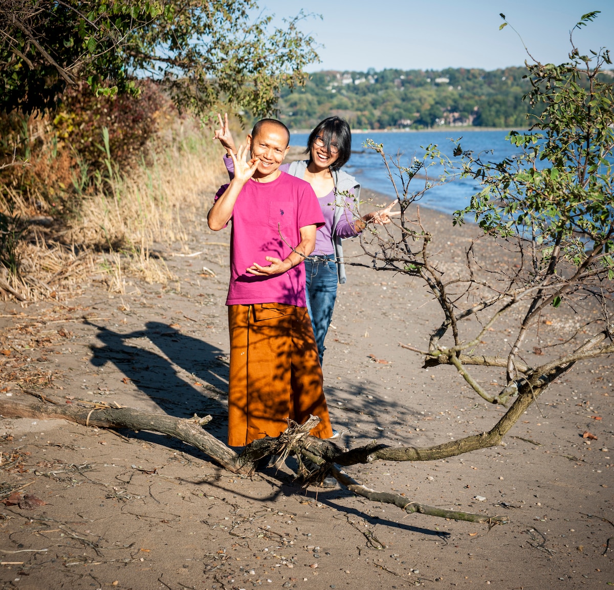
Pet friendly
Family friendly
Off the beaten path
attractions: , restaurants: , local businesses:
Phone
(845) 351-5907
Website
parks.ny.gov
Plan your stay

Pet-friendly Hotels in Town of Cornwall
Find a cozy hotel nearby and make it a full experience.

Affordable Hotels in Town of Cornwall
Find a cozy hotel nearby and make it a full experience.

The Coolest Hotels You Haven't Heard Of (Yet)
Find a cozy hotel nearby and make it a full experience.

Trending Stays Worth the Hype in Town of Cornwall
Find a cozy hotel nearby and make it a full experience.
Reviews
Live events

Lupercalia at The Ellis — A Night of Goth, Ritual & Darkwave
Sat, Feb 14 • 9:00 PM
60 Dubois Street Newburgh, NY 12550
View details
Ecotherapy on the Hudson
Sat, Feb 14 • 3:00 PM
Croton-on-Hudson, New York, 10520, United States
View details

Traveling Yoga, Soundbath and Reiki
Sat, Feb 14 • 9:30 AM
Sloatsburg, New York, 10974
View details