Buck Mountain Trailhead things to do, attractions, restaurants, events info and trip planning
Basic Info
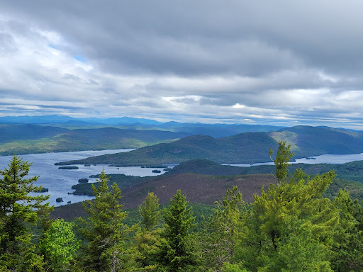
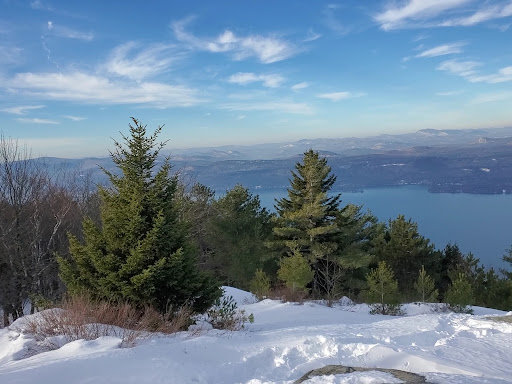
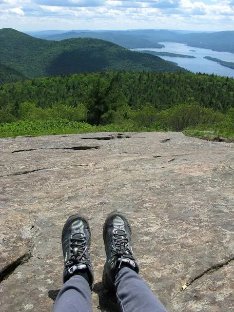
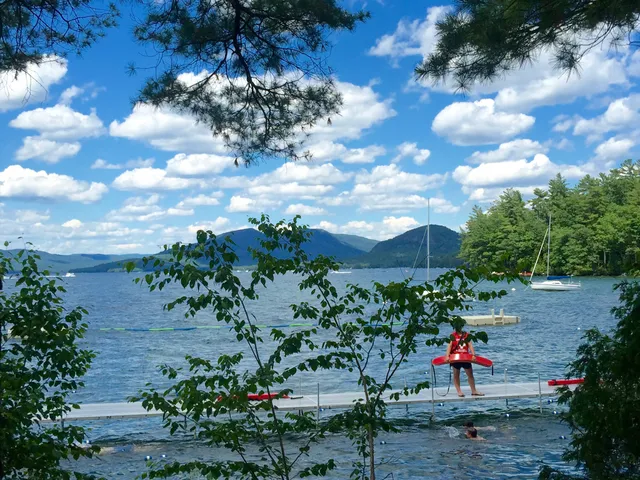
Buck Mountain Trailhead
Parking lot, 1750 Pilot Knob Rd, Kattskill Bay, NY 12844, United States
4.7(180)
Open until 8:00 PM
Save
spot
spot
Ratings & Description
Info
Outdoor
Adventure
Scenic
Family friendly
Pet friendly
Off the beaten path
attractions: YMCA Camp Chingachgook, restaurants: , local businesses:
Phone
+1 518-623-1200
Website
adirondack.net
Open hoursSee all hours
Sun6 a.m. - 8 p.m.Open
Plan your stay

Pet-friendly Hotels in Town of Fort Ann
Find a cozy hotel nearby and make it a full experience.

Affordable Hotels in Town of Fort Ann
Find a cozy hotel nearby and make it a full experience.

The Coolest Hotels You Haven't Heard Of (Yet)
Find a cozy hotel nearby and make it a full experience.

Trending Stays Worth the Hype in Town of Fort Ann
Find a cozy hotel nearby and make it a full experience.
Reviews
Live events
Explore scenic Lake George and Adirondacks by Air
Sun, Jan 25 • 10:00 AM
Queensbury, New York, 12804
View details

Women’s Winter Wellness Retreat
Fri, Jan 23 • 4:00 PM
Lake George, Ny, Warrensburg, New York, United States
View details

Active Play! Fun Physical Activities for Young Children
Tue, Jan 27 • 8:30 AM
333 Glen Street #2nd floor Glens Falls, NY 12801
View details
Nearby attractions of Buck Mountain Trailhead
YMCA Camp Chingachgook
YMCA Camp Chingachgook
4.4
(37)
Open 24 hours
Click for details