Bouchoux Trailhead (Jensen's Ledges) things to do, attractions, restaurants, events info and trip planning
Basic Info
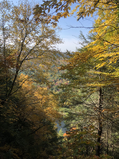
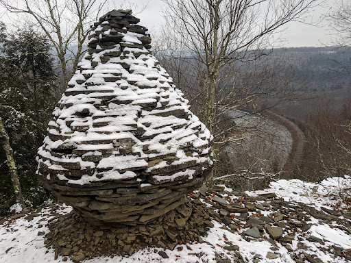
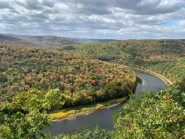
Bouchoux Trailhead (Jensen's Ledges)
Bouchoux Brook Rd, Hancock, NY 13783
4.8(52)
Open until 12:00 AM
Save
spot
spot
Ratings & Description
Info
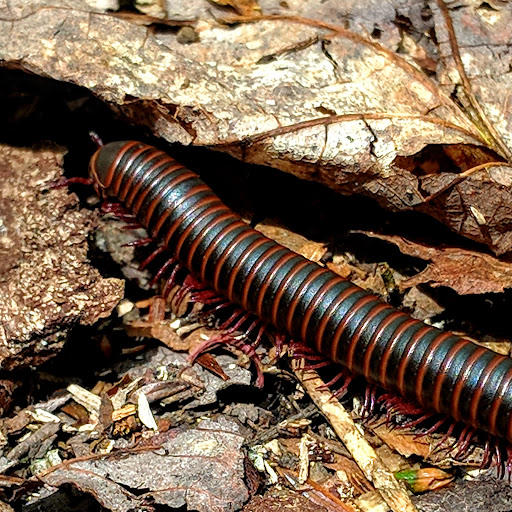
Outdoor
Adventure
Scenic
Pet friendly
Off the beaten path
attractions: , restaurants: , local businesses:
Website
birdinghotspots.org
Open hoursSee all hours
MonOpen 24 hoursOpen
Plan your stay

Pet-friendly Hotels in Town of Hancock
Find a cozy hotel nearby and make it a full experience.

Affordable Hotels in Town of Hancock
Find a cozy hotel nearby and make it a full experience.

The Coolest Hotels You Haven't Heard Of (Yet)
Find a cozy hotel nearby and make it a full experience.

Trending Stays Worth the Hype in Town of Hancock
Find a cozy hotel nearby and make it a full experience.
Reviews
Live events

7th Annual Jigsaw Puzzle Tournament
Thu, Jan 29 • 6:00 PM
104 Read St, Hancock, NY, United States, New York 13783
View details

Roscoe Beer & RMC Winterfest
Sat, Jan 31 • 12:00 PM
Roscoe Mountain Club, Tennanah Lake Golf & Tennis Club, 100 Fairway View Dr, Roscoe, NY 12776, United States
View details