Devil's Path Trail things to do, attractions, restaurants, events info and trip planning

Basic Info
Devil's Path Trail
Prediger Trail Head Road, Elka Park, NY 12427
4.8(115)
Closed
Save
spot
spot
Ratings & Description
Info
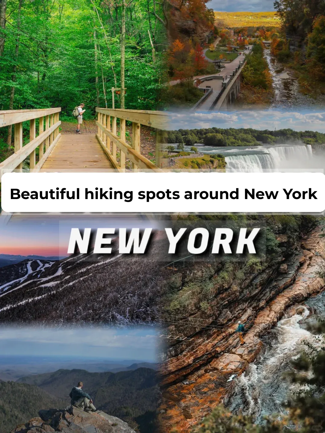
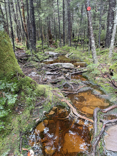
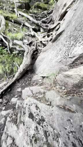
The Devil's Path is a hiking trail in the Greene County section of the Catskill Mountains of New York, sometimes described as one of the more challenging trails in the New York Tri-state area.
Outdoor
Adventure
Scenic
Off the beaten path
attractions: , restaurants: , local businesses:
Open hoursSee all hours
Sun6 AM - 7:48 PMClosed
Plan your stay

Pet-friendly Hotels in Town of Hunter
Find a cozy hotel nearby and make it a full experience.

Affordable Hotels in Town of Hunter
Find a cozy hotel nearby and make it a full experience.

The Coolest Hotels You Haven't Heard Of (Yet)
Find a cozy hotel nearby and make it a full experience.

Trending Stays Worth the Hype in Town of Hunter
Find a cozy hotel nearby and make it a full experience.
Reviews
Live events

Chronic Lyme, Disability Advocacy, & the Role of Art in Living with Illness
Sat, Feb 21 • 3:00 PM
25 Dederick Street Kingston, NY 12401
View details

CMS Monthly Multimedia Workshop & Jam with Aliya Ultan
Sat, Feb 21 • 1:00 PM
77 Cornell Street Kingston, NY 12401
View details

Sip & Paint American Legion Fundraiser
Sun, Feb 22 • 3:00 PM
18 West O'Reilly Street Kingston, NY 12401
View details