Hannacroix Creek Preserve things to do, attractions, restaurants, events info and trip planning
Basic Info
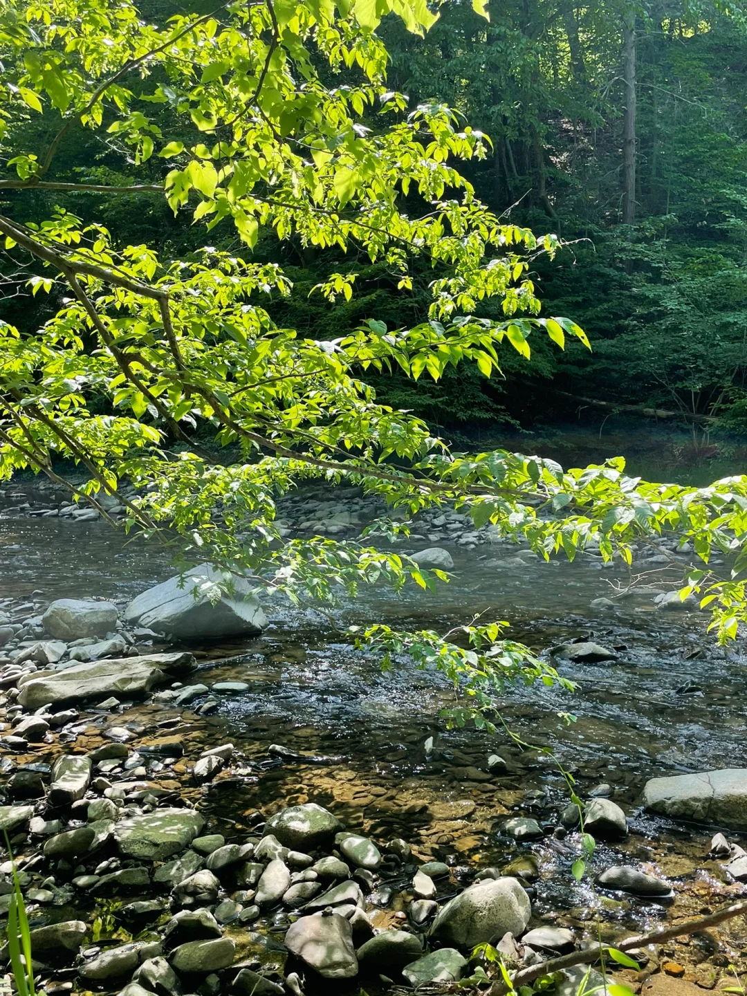
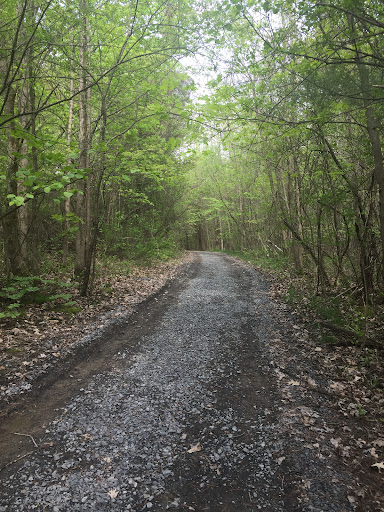
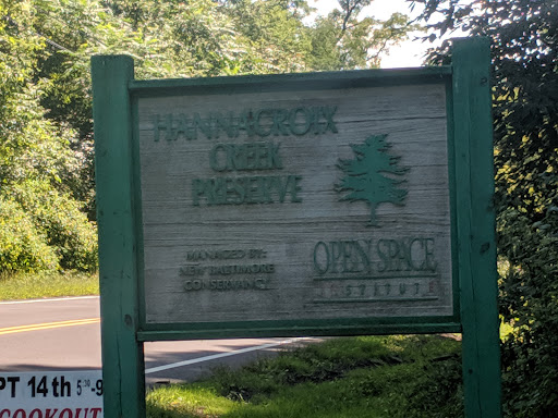
Hannacroix Creek Preserve
NY-144, New Baltimore, NY 12124
4.6(87)
Open 24 hours
Save
spot
spot
Ratings & Description
Info
Outdoor
Adventure
Scenic
Pet friendly
Family friendly
Off the beaten path
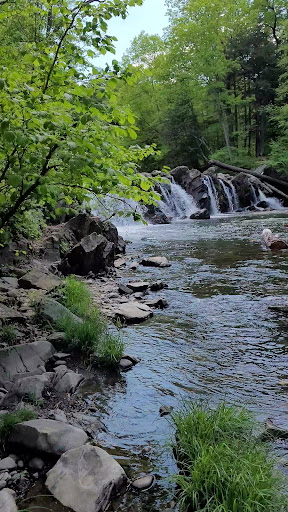
attractions: Hannacrois Creek Falls, restaurants: , local businesses:
Website
newbaltimoreconservancy.org
Plan your stay

Pet-friendly Hotels in Town of New Baltimore
Find a cozy hotel nearby and make it a full experience.

Affordable Hotels in Town of New Baltimore
Find a cozy hotel nearby and make it a full experience.

The Coolest Hotels You Haven't Heard Of (Yet)
Find a cozy hotel nearby and make it a full experience.

Trending Stays Worth the Hype in Town of New Baltimore
Find a cozy hotel nearby and make it a full experience.
Reviews
Live events
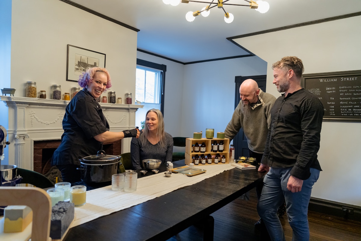
Artisan soap making workshop
Sat, Jan 17 • 1:30 PM
Catskill, New York, 12414
View details

Sip wild-foraged apple ciders in the Catskills
Thu, Jan 15 • 5:00 PM
Catskill, New York, 12414, United States
View details

Copy of Holiday Sip& Bake : Rosca de Reyes
Sun, Jan 4 • 6:00 PM
El Rancho Bar&Grill, 1133 Central Avenue, Albany, United States
View details
Nearby attractions of Hannacroix Creek Preserve
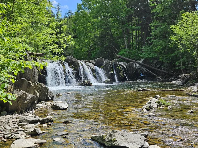
Hannacrois Creek Falls
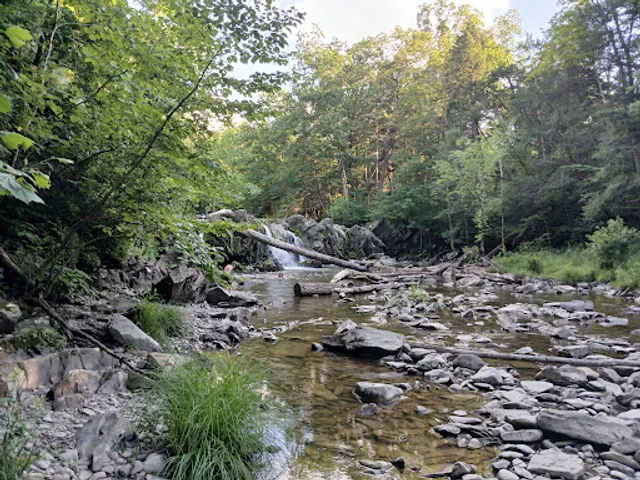
Hannacrois Creek Falls
4.8
(9)
Open until 6:00 PM
Click for details