Scarface Mountain Trailhead things to do, attractions, restaurants, events info and trip planning
Basic Info
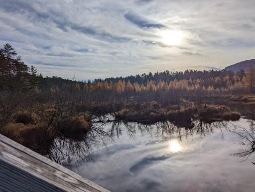
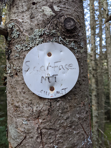
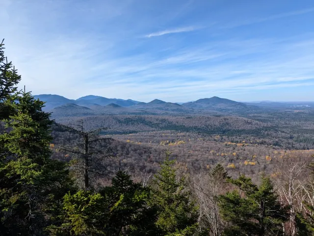
Scarface Mountain Trailhead
321-295, County Hwy 32, Saranac Lake, NY 12983, United States
4.3(30)
Open until 12:00 AM
Save
spot
spot
Ratings & Description
Info
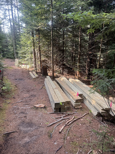
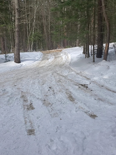
Outdoor
Adventure
Scenic
Pet friendly
Off the beaten path
attractions: Adirondack Park Agency, restaurants: Tail O' the Pup - Open May til October, The Pine Cone, local businesses:
Website
saranaclake.com
Open hoursSee all hours
FriOpen 24 hoursOpen
Plan your stay

Pet-friendly Hotels in Town of North Elba
Find a cozy hotel nearby and make it a full experience.

Affordable Hotels in Town of North Elba
Find a cozy hotel nearby and make it a full experience.

The Coolest Hotels You Haven't Heard Of (Yet)
Find a cozy hotel nearby and make it a full experience.

Trending Stays Worth the Hype in Town of North Elba
Find a cozy hotel nearby and make it a full experience.
Reviews
Live events

Sophistafunk wsg New Planets at Winter Carnival at Waterhole
Fri, Feb 13 • 7:30 PM
48 Main Street Saranac Lake, NY 12983
View details

Masterclass: Songwriters Toolkit with Emily Barnes
Mon, Feb 16 • 4:30 PM
53 Main Street (Rear) Saranac Lake, NY 12983
View details

Awakening Through Trauma - The Workshop - Lake Placid
Sat, Jun 7 • 1:00 PM
Virtual Via Zoom, Lake Placid, NY 12946
View details
Nearby attractions of Scarface Mountain Trailhead
Adirondack Park Agency

Adirondack Park Agency
3.9
(11)
Closed
Click for details
Nearby restaurants of Scarface Mountain Trailhead
Tail O' the Pup - Open May til October
The Pine Cone
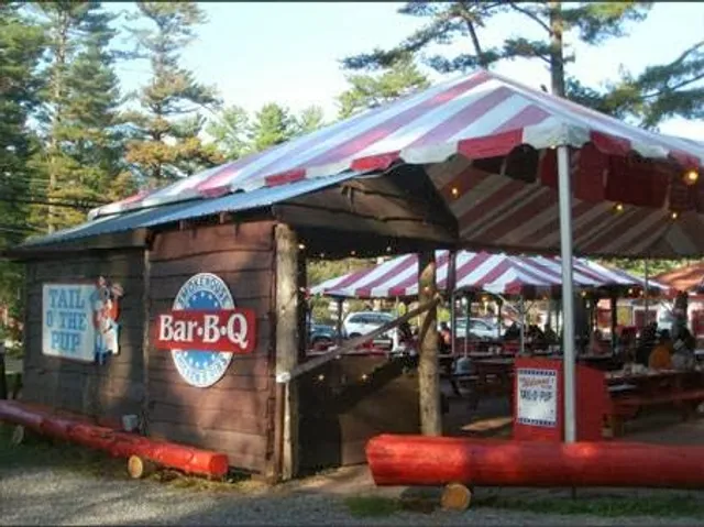
Tail O' the Pup - Open May til October
3.7
(634)
Click for details

The Pine Cone
4.4
(73)
Closed
Click for details