Dater Mountain Nature Park things to do, attractions, restaurants, events info and trip planning
Basic Info
Dater Mountain Nature Park
54 Seven Lakes Dr, Sloatsburg, NY 10974
4.5(250)
Closed
Save
spot
spot
Ratings & Description
Info
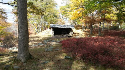
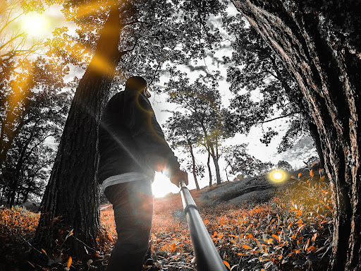
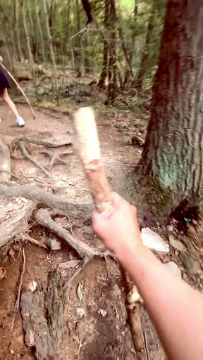
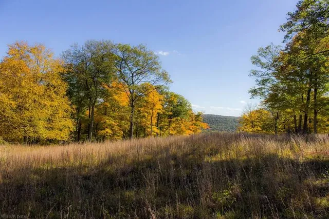
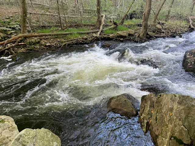
At 47,527 acres, Harriman State Park is the second largest state park in the U.S. state of New York. Located in Rockland and Orange counties 30 miles north of New York City, it is a haven for hikers with over 200 miles of hiking trails.
Outdoor
Adventure
Scenic
Family friendly
Pet friendly
attractions: Harriman State Park, restaurants: Jessie's Bagels, local businesses:
Phone
(845) 947-2444
Website
rocklandcountyny.gov
Open hoursSee all hours
Thu8 AM - 9 PMClosed
Plan your stay

Pet-friendly Hotels in Town of Ramapo
Find a cozy hotel nearby and make it a full experience.

Affordable Hotels in Town of Ramapo
Find a cozy hotel nearby and make it a full experience.

The Coolest Hotels You Haven't Heard Of (Yet)
Find a cozy hotel nearby and make it a full experience.

Trending Stays Worth the Hype in Town of Ramapo
Find a cozy hotel nearby and make it a full experience.
Reviews
Live events

All Ways Writing Circle
Thu, Jan 29 • 7:00 PM
171 Main Street, Nyack, NY 10960
View details

Urbanite Arts & Film Festival Studio Opening Event
Sat, Jan 31 • 3:00 PM
105 South Division Street 3rd Floor Peekskill, NY 10566
View details

Step Into Momentum
Sat, Jan 31 • 8:30 AM
One Garden State Plaza Pkwy Paramus, NJ 07652
View details
Nearby attractions of Dater Mountain Nature Park
Harriman State Park
Harriman State Park
4.8
(45)
Open 24 hours
Click for details
Nearby restaurants of Dater Mountain Nature Park
Jessie's Bagels
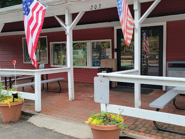
Jessie's Bagels
4.4
(284)
$
Closed
Click for details