This was my first time here, and I traveled the Mullet Brook Falls trail, following the instructions on the trail sign board at the entrance. The instructions are easy to follow, I took a picture of them to use along the way, but the trails are very clearly marked, so that was great. There are some parking spots available at the entrance, for probably less than 20 cars. Which was fine for me because while there were some cars occupying some of the spaces provided, there were also a few spots left from me to choose from. I'm not sure if these trails ever get very busy, though.
Shortly after passing the gate towards the trails, you will see a lock box under a sign with all the trails listed on it that says 'PLEASE REGISTER'. Pull the lever up, and you will find a large green notebook and pencil inside, intended for hikers to sign. It will ask for information such as: their names, where they're from, their phone numbers, how many people are in their group, their length of stay, which trail they'll be hiking on and there's a check-box you can mark off on your way back to record that you've completed your hike. I LOVE this! Especially because theres very little (in random spots) to absolutely no cell service in this area. I have been on a couple of trails that offer this, but not many.
Speaking of no cell service - on the trailhead sign board before the entrance, there is a QR code on the bottom right you can scan to download Avenza Maps to your phone. I definitely recommend doing this! Then, download the free map for Neversink. It really helped me on my hike, as I did get a bit lost on my way back, and it worked with no service.
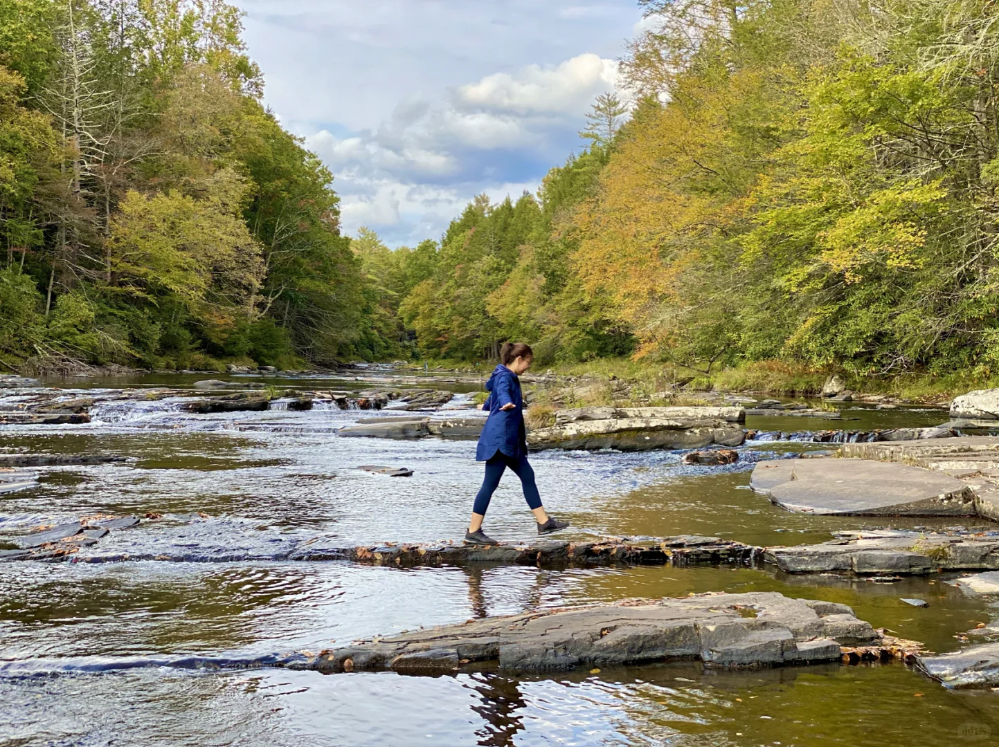
I would say this trail is moderate. There are some flat and easy to walk sections, but there are also a lot more rocky and steep areas. You have to do a bit of light climbing a time or two and walk across some rocky parts to get through a few creeks. This trail is beautiful and, at times, slightly challenging, but worth it! I wouldn't recommend bringing small children on these trails, or at least not on the Mullet Brook Trail, lol.
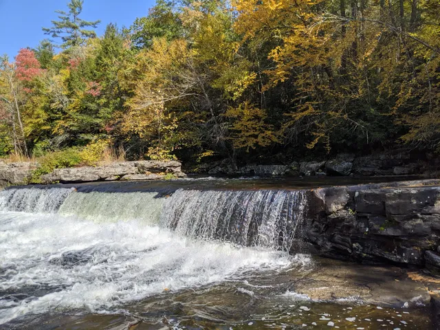
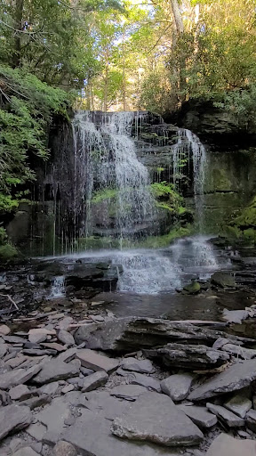
The waterfall wasn't very large, but it was worth the hike. You can sit on some huge rocks pretty close to the falls and relax (swimming is NOT permitted!). I was able to sit close enough to feel a nice breeze from the falls - it...
Read more