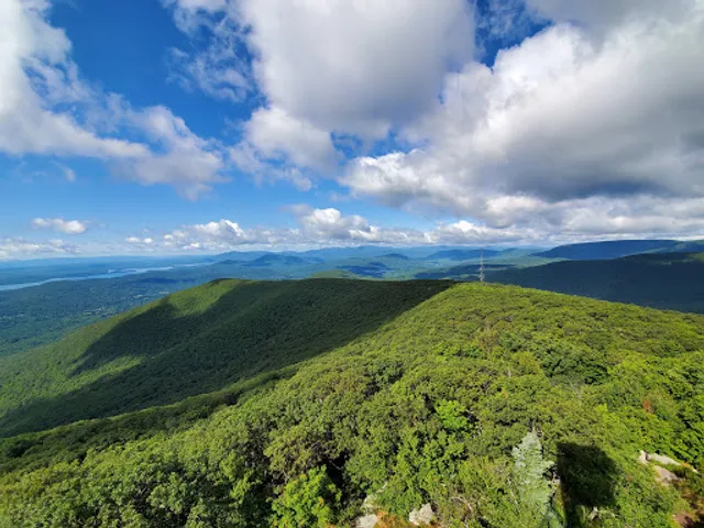
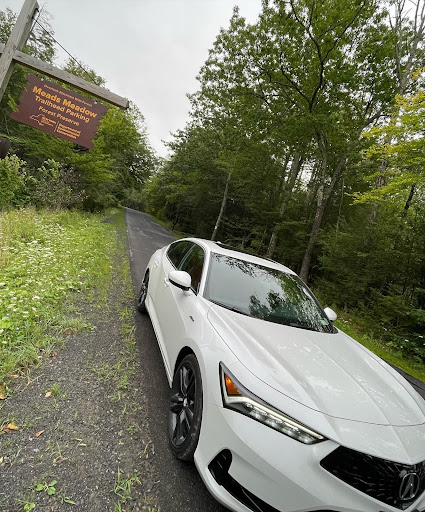
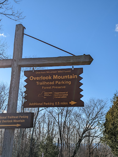
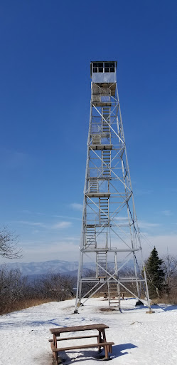
This morning I hiked at Overlook Mountain Forest. The drive there was familiar and easy, as I’ve been up that way many times before. However, today would be different. I’d be hiking Meads Meadow for the first time! The parking lot was really easy to find and at 7am, I was the only one there. Navigation can be a little difficult if you don’t know the trails. I suggest looking at the trailhead map first to familiarize yourself with the 3 loops so you’ll have an idea what you’re getting yourself into. Also, bring water. I left mine in the car, which made conditions even tougher for me. The blue trail was very easy and led me right back out into the parking lot. The yellow trail was much tougher, and I relied on a group of locals who knew the Meadow to get me through the trail. I tried to turn around on the yellow trail, got minutely lost, panicked for a few minutes and had no choice but to continue on through the forest. The yellow trail was an intense hike and covered a good amount of distance. I started to wonder if I should’ve embarked on that path especially having forgotten my water while I’m sweating and out of breath for extended period of time. I’m glad the locals could help. There were rattlesnakes continually threatening as the group up ahead has small and large dogs with them. It seemed like the rattlesnake was following me and getting closer. Again, terrifying. There was another rattlesnake close to the entrance to the parking lot. There are predators at Meads Meadow. Can be very easy to bring bears, rattlesnakes and crows in very close to you. Primitive camping is allowed, I’d be careful about what food you decide to bring in. A juicy steak will have a bear in your tent within the hour. Stay alert, vigilant, hydrated and have knowledge of the trails. I think there are about 3 loops maybe. I didn’t hike to Overlook Mountain or the Fire Tower. My goal was to stay within the Meadow, which I accomplished. I completed the blue trail and the yellow trail and for my first time had a chance to learn and remember the area. I’m sure big cats aren’t far away. The predators are within reach, because it’s a bit of high altitude. Most of the game I noticed was aggressive, I came across bird carcasses. It’s a wild area well marked and trails well worn. The timber snakes are poisonous? I had my first aid kit in the car. It’s not an extreme level hike, but it can get a little bit intense with the overlapping trails and rough terrain for extended distances. Overall, it was a good hiking experience and I underestimated it going into the hike which was a mistake. This has forestry you can suddenly find yourself in, and have no choice but to see it out which is what I got myself into with the yellow trail. Maybe Someday I’ll try the Overlook Mountain path but have to get a better look at the...
Read more