It seems like the route was made because somebody wanted to say they created a connection from tahoe to pyramid. It doesn't seem like the conceptual designer actually cared if the trail was any good.
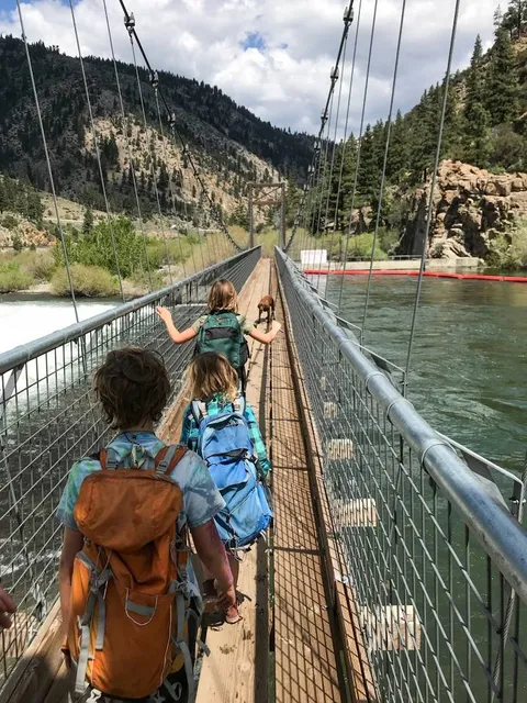
There are three main problems that keep this trail from being "good". The first is safety. And for that reason alone, id give 1 star, seeing as how so many riders abandon roads in favor of riding where there are no cars. This isn't a trail. At times, there are miles long stretches on fast windy roads with either 6" shoulders (such as the hill by glenshire) or very fast roads with concrete barriers on the outside of the shoulder meaning no escape zone (such as on the way into verdi from reno).
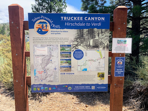
The second issue is that it can be very difficult to follow the trail due to a lack of maps, or signage at key entrance points (such as Mayberry park). If I hadn't given up on connecting the trail on my way to verdi, I would have never found it again. I refound the trail by luck. Took forever to find the trail again on the north side of verdi too. It was at that point that I realized it wasn't really a trail, but a road with no shoulder at all (although low traffic at the time I went through). I'd say this is an annoyance rather than a severe problem. If it were marked poorly but a fun and safe task, if probably give it a 3.
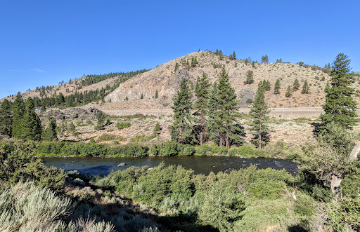
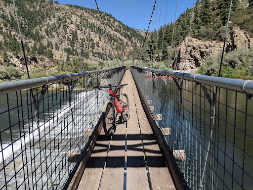
The last issue is the flow in general. It seems like rather than picking a spot to build a bike trail that actually could meander gradually, at times the trail they ended up with was the only spot where they could convince a landowner to allow people through. The result is that there are steep punchy climbs, many dismounts for gates, multiple staircases, long sections with no shade, corners so tight that you can unlikely ride them and moments where you end up 5 feet from i80. What really stands out is that the trail, even when crafted well, tends to have poor line choice that favors straight line uphills over undulations and curves. On top of all this, despite going along the river, there are times where you can't get water for long periods of time. The route steers you away from the river in favor of the highway. I went reno to truckee, leaving at about 7:40am from near The Hub. It took until noon. I used about 3 water bottles by 11am. So the last 15 miles were rough. I would most likely recommend that someone avoids the truckee to reno section of this trail in favor of riding by Boca and going up and over verdi peak. The truckee to reno stretch clearly has huge amounts of land usage challenges that prevent an enjoyable ride. If it were to climb gradually up into the foothills of Mount Rose, it could be a very special trail. It surely isn't something somebody would want to go out of their way to ride right now. Then again, the same is true for riding a road bike around Lake Tahoe still. In my mind, the most important trail building effort in the area would be a bike path that skirts the entire lake, near Lake level. Right now, you can't really safely ride a gravel or road bike around the lake either. As for the Tahoe Pyramid trail, it isn't world class and it isn't really something that has the potential to be without...
Read more