McConkie Ranch Petroglyphs things to do, attractions, restaurants, events info and trip planning
Basic Info
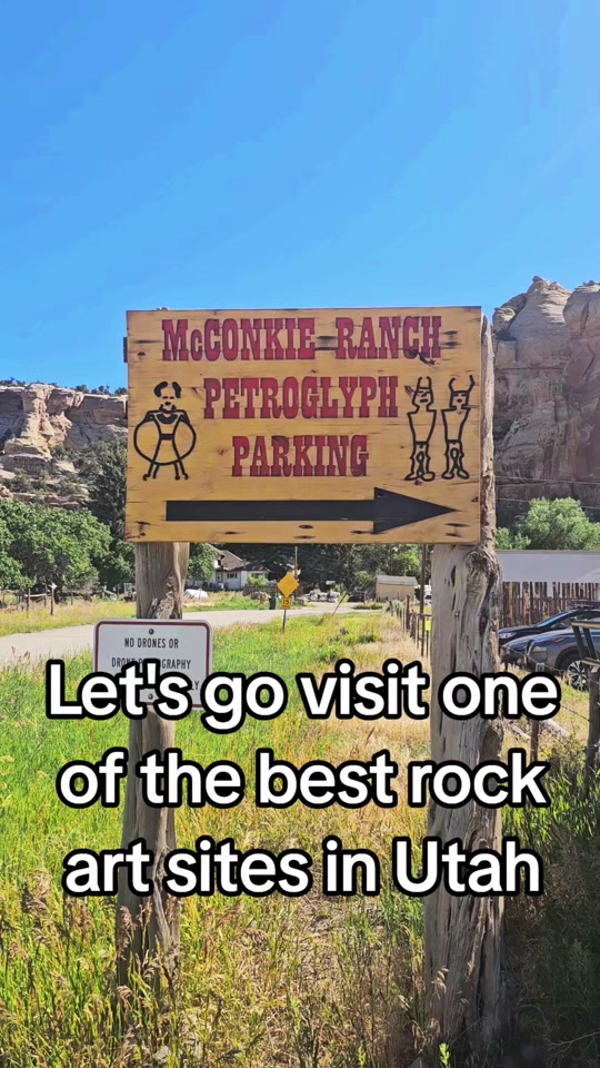
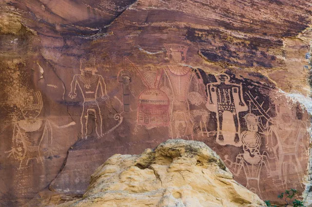
McConkie Ranch Petroglyphs
6228 McConkie Rd, Vernal, UT 84078, United States
4.7(256)
Open 24 hours
Save
spot
spot
Ratings & Description
Info
Cultural
Outdoor
Adventure
Family friendly
Off the beaten path
attractions: , restaurants: , local businesses:
Plan your stay

Pet-friendly Hotels in Vernal
Find a cozy hotel nearby and make it a full experience.

Affordable Hotels in Vernal
Find a cozy hotel nearby and make it a full experience.

The Coolest Hotels You Haven't Heard Of (Yet)
Find a cozy hotel nearby and make it a full experience.

Trending Stays Worth the Hype in Vernal
Find a cozy hotel nearby and make it a full experience.
Reviews
Live events

Ward Endowment Session
Sat, Feb 7 • 8:40 AM
420 W 200 S, Vernal, UT 84078
View details

Season 4 R3 Regional Championship Qualifier
Sat, Feb 7 • 9:30 AM
145 W Main St., Vernal, UT, United States
View details

Women’s Day Out
Sat, Feb 7 • 10:00 AM
Uintah Conference Center, 313 E 200 S,Vernal, Utah, United States
View details