Massanutten Ridge Trail things to do, attractions, restaurants, events info and trip planning
Basic Info
Massanutten Ridge Trail
Massanutten, VA 22840
4.6(109)
Open 24 hours
Save
spot
spot
Ratings & Description
Info
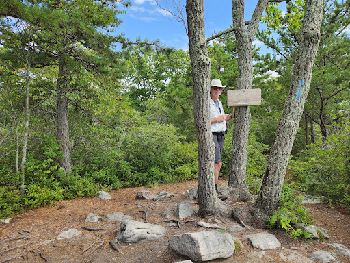
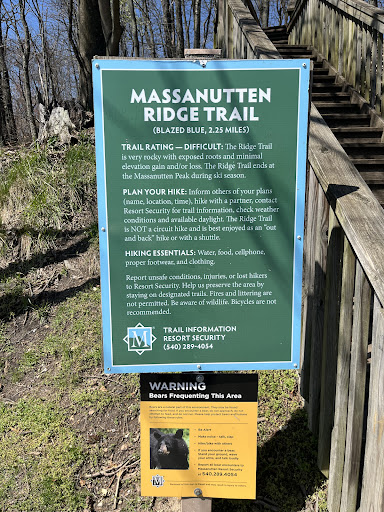
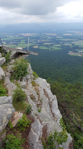
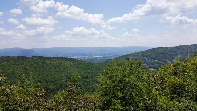
The Massanutten Trail is a 71-mile National Recreation Trail located in George Washington National Forest in Central Virginia. Much of the path is steep and rugged terrain, and presents many mountain vistas. The trail traverses the Massanutten Range around its inner valley.
Outdoor
Adventure
Scenic
Pet friendly
attractions: , restaurants: , local businesses:
Phone
(540) 289-9441
Website
massresort.com
Plan your stay

Pet-friendly Hotels in Virginia
Find a cozy hotel nearby and make it a full experience.

Affordable Hotels in Virginia
Find a cozy hotel nearby and make it a full experience.

The Coolest Hotels You Haven't Heard Of (Yet)
Find a cozy hotel nearby and make it a full experience.

Trending Stays Worth the Hype in Virginia
Find a cozy hotel nearby and make it a full experience.
Reviews
Live events
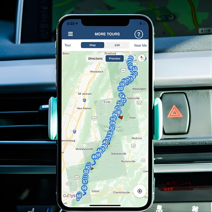
Shenandoah National Park Self-Driving Audio Tour
Sun, Feb 15 • 9:00 AM
Virginia, 22903
View details

Starvn Marvin at Jon Henry General Store
Sun, Feb 15 • 12:00 PM
Jon Henry General Store, 9383 North Congress Street,New Market, Virginia, United States
View details

Paint + Sip: Cozy Cabin at White Oak Lavender Farm Vineyard
Sun, Feb 15 • 1:00 PM
White Oak Lavender Farm & The Purple WOLF Vineyard, 2644 Cross Keys Road, Harrisonburg, United States
View details