Apshawa Preserve things to do, attractions, restaurants, events info and trip planning

Basic Info
Apshawa Preserve
4 Northwood Dr, West Milford, NJ 07480
4.5(165)
Open until 12:00 AM
Save
spot
spot
Ratings & Description
Info
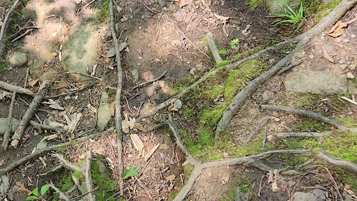
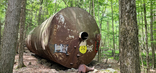
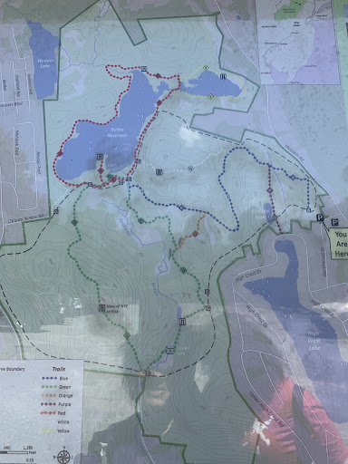
The Apshawa Preserve is a 576-acre nature preserve in the highlands of northern New Jersey, United States. Located off Northwood Drive in West Milford, the preserve is managed by the New Jersey Conservation Foundation and by Passaic County. The preserve is mostly wooded with oak and maple.
Outdoor
Adventure
Scenic
Family friendly
Pet friendly
Off the beaten path
attractions: , restaurants: , local businesses:
Phone
(908) 234-1225
Website
njconservation.org
Open hoursSee all hours
TueOpen 24 hoursOpen
Plan your stay

Pet-friendly Hotels in West Milford
Find a cozy hotel nearby and make it a full experience.

Affordable Hotels in West Milford
Find a cozy hotel nearby and make it a full experience.

The Coolest Hotels You Haven't Heard Of (Yet)
Find a cozy hotel nearby and make it a full experience.

Trending Stays Worth the Hype in West Milford
Find a cozy hotel nearby and make it a full experience.
Reviews
Live events

Dopamine Land: A Multisensory Experience
Wed, Feb 25 • 2:00 PM
One Garden State Plaza Pkwy, Paramus, 07652
View details

Laughs on the Books V: Montclairs Top Comedy Show!
Sat, Feb 28 • 8:00 PM
221 Glenridge Avenue Montclair, NJ 07042
View details

ChillWell Monday and Wednesday Slots
Mon, Feb 2 • 12:00 PM
Loopwell, 80 Maple Avenue, Montclair, United States
View details