Pulpit Rock And The Pinnacle Loop things to do, attractions, restaurants, events info and trip planning

Basic Info
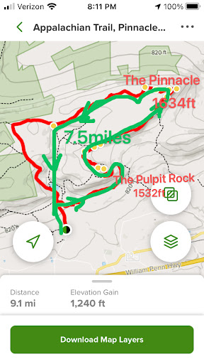
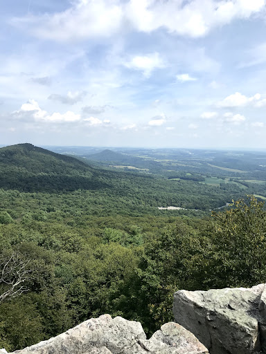
Pulpit Rock And The Pinnacle Loop
Windsor Township, PA 19534
4.8(154)
Open until 12:00 AM
Save
spot
spot
Ratings & Description
Info
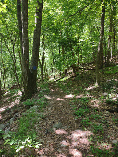
Outdoor
Adventure
Scenic
Family friendly
Pet friendly
Off the beaten path
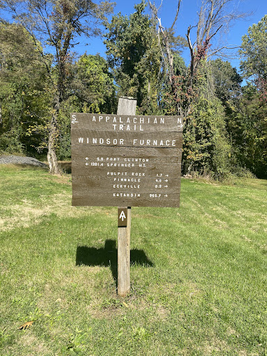
attractions: Pinnacle Trail Head, AT Access, Hamburg Reservoir, restaurants: , local businesses: Windsor Furnace Shelter, Appalachian Trail
Open hoursSee all hours
ThuOpen 24 hoursOpen
Plan your stay

Pet-friendly Hotels in Windsor Township
Find a cozy hotel nearby and make it a full experience.

Affordable Hotels in Windsor Township
Find a cozy hotel nearby and make it a full experience.

The Coolest Hotels You Haven't Heard Of (Yet)
Find a cozy hotel nearby and make it a full experience.

Trending Stays Worth the Hype in Windsor Township
Find a cozy hotel nearby and make it a full experience.
Reviews
Live events

Reading, PA - WinterJam Volunteers - ChildFund Intl
Thu, Feb 26 • 4:15 PM
700 Penn Street Reading, PA 19602
View details

Pageturners Book Club Meeting
Thu, Feb 26 • 5:30 PM
215 W Market St, Pottsville, PA, United States, Pennsylvania 17901
View details

Jazz Night Hosted By Greg Wilson At The Nest
Thu, Feb 26 • 8:30 PM
The Nest Collaborative, 629 Court Street ,West Reading, Pennsylvania, United States
View details
Nearby attractions of Pulpit Rock And The Pinnacle Loop
Pinnacle Trail Head, AT Access
Hamburg Reservoir

Pinnacle Trail Head, AT Access
4.8
(207)
Open until 12:00 AM
Click for details
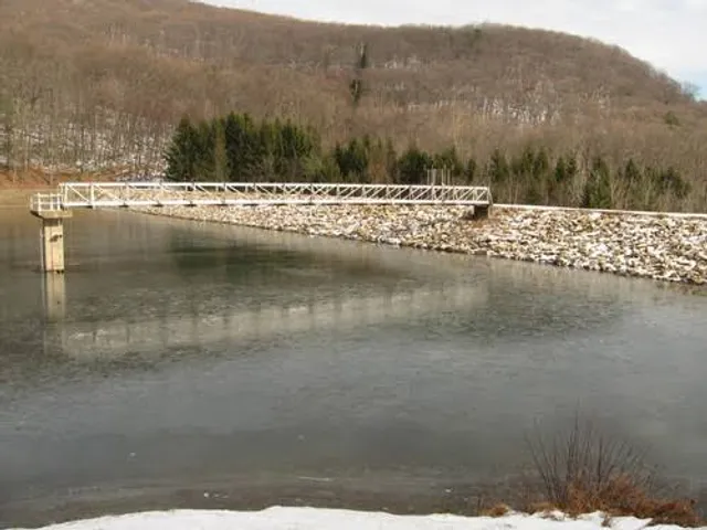
Hamburg Reservoir
4.9
(8)
Open 24 hours
Click for details
Nearby local services of Pulpit Rock And The Pinnacle Loop
Windsor Furnace Shelter, Appalachian Trail
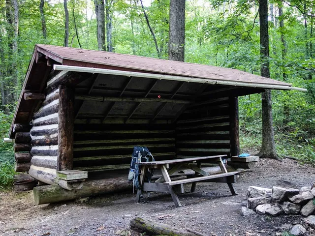
Windsor Furnace Shelter, Appalachian Trail
4.4
(23)
Click for details