Lewis and Clark Confluence Historical Marker things to do, attractions, restaurants, events info and trip planning

Basic Info
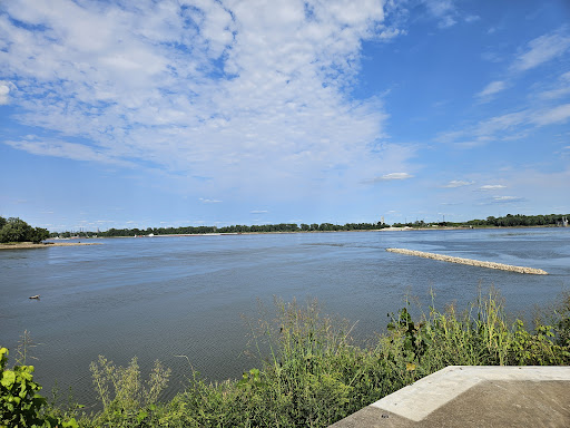
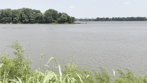
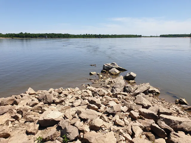
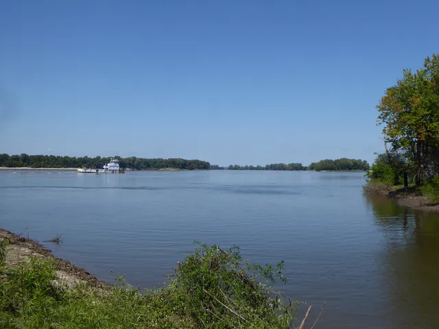
Lewis and Clark Confluence Historical Marker
RV7F+GM, West Alton, MO 63138
3.1(17)
Open 24 hours
Save
spot
spot
Ratings & Description
Info
attractions: Mouth Of The Missouri River, restaurants: , local businesses: Missouri-Mississippi Confluence
Plan your stay

Pet-friendly Hotels in Wood River
Find a cozy hotel nearby and make it a full experience.

Affordable Hotels in Wood River
Find a cozy hotel nearby and make it a full experience.

The Coolest Hotels You Haven't Heard Of (Yet)
Find a cozy hotel nearby and make it a full experience.

Trending Stays Worth the Hype in Wood River
Find a cozy hotel nearby and make it a full experience.
Reviews
Live events

♟️ UMSL Chess Tournament – February 13
Fri, Feb 13 • 4:00 PM
351 Millenium Student Ctr St. Louis, MO 63121
View details

Masterpiece and Mimosas
Sat, Feb 14 • 2:30 PM
415 South Florissant Road Ferguson, MO 63135
View details

Paint & Sip at Bubbys
Wed, Feb 18 • 7:00 PM
602 Belle Street Alton, IL 62002
View details
Nearby attractions of Lewis and Clark Confluence Historical Marker
Mouth Of The Missouri River
Mouth Of The Missouri River
4.6
(28)
Open 24 hours
Click for details
Nearby local services of Lewis and Clark Confluence Historical Marker
Missouri-Mississippi Confluence
Missouri-Mississippi Confluence
4.2
(8)
Click for details